 Core Service
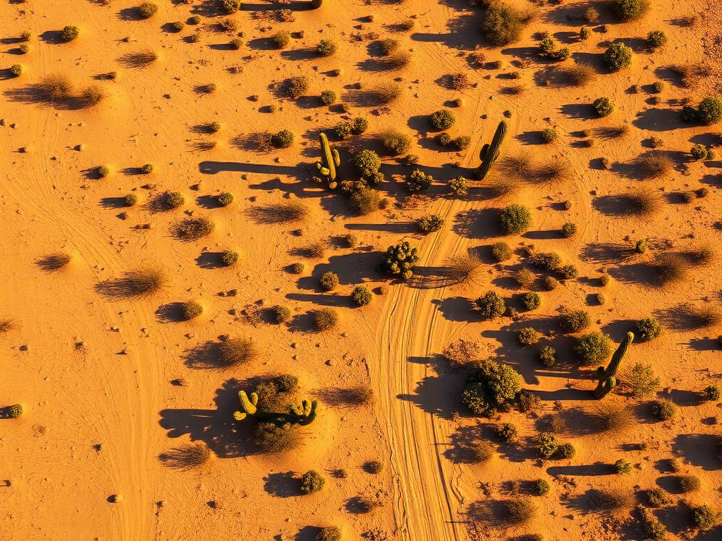
Aerial Drone Photography
High-resolution photos from multiple altitudes that show the parcel's shape, nearby roads and development, and the mountain backdrop.
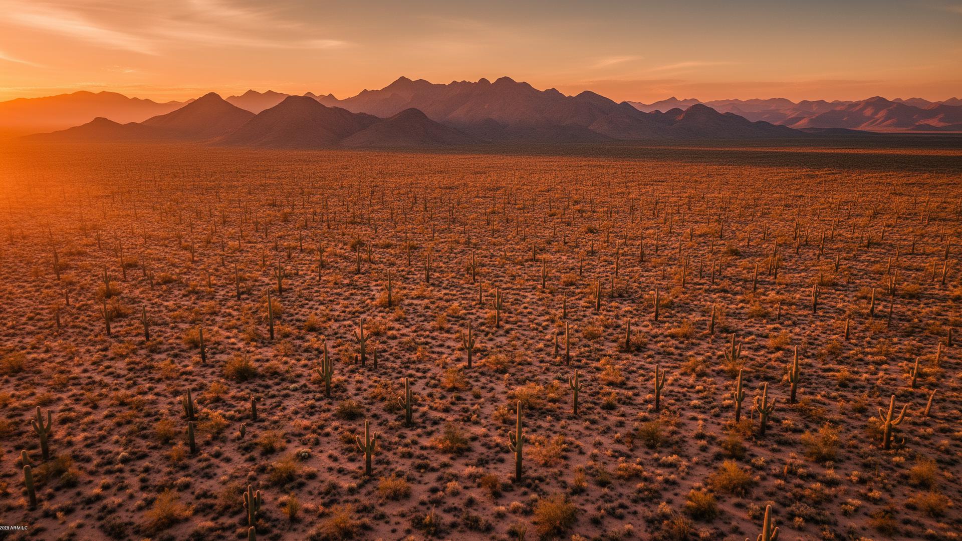
Phoenix land ranges from desert acreage in the north to infill lots in the middle of the city. Either way, buyers want to see the parcel, the access, and what's around it. We capture aerial and ground photography that shows all three.
Phoenix Land Listings
In a city as big as Phoenix, context sells land. Where is the lot relative to the nearest paved road, the freeway, the mountain preserve, or the neighborhood next door? A drone answers those questions in a single frame, and ground photos show the terrain and access up close.

Phoenix Services
Every service is tailored to make vacant land listings impossible to scroll past.
Core ServiceHigh-resolution photos from multiple altitudes that show the parcel's shape, nearby roads and development, and the mountain backdrop.
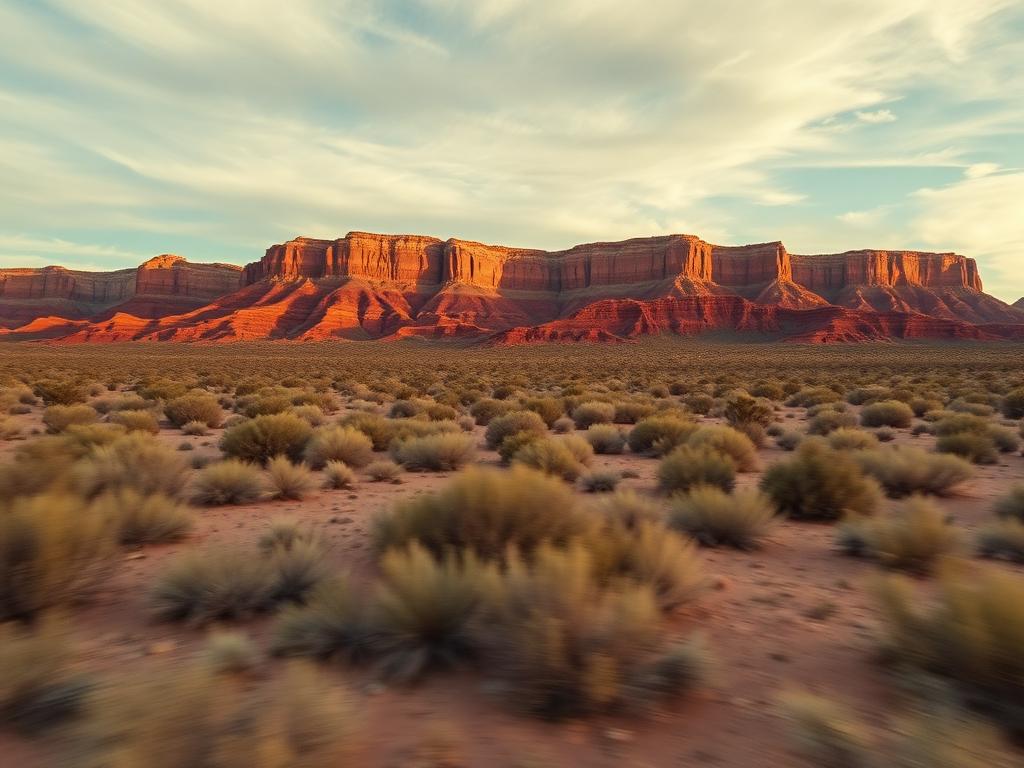
Cinematic flyovers that put the lot in context, from the approach road to the surrounding neighborhood, ready for listing pages, social media, and reels.
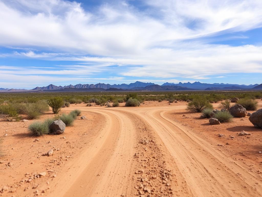 Core Service
On-the-ground photos of street frontage, road access, terrain, and native desert vegetation.
 Add-On
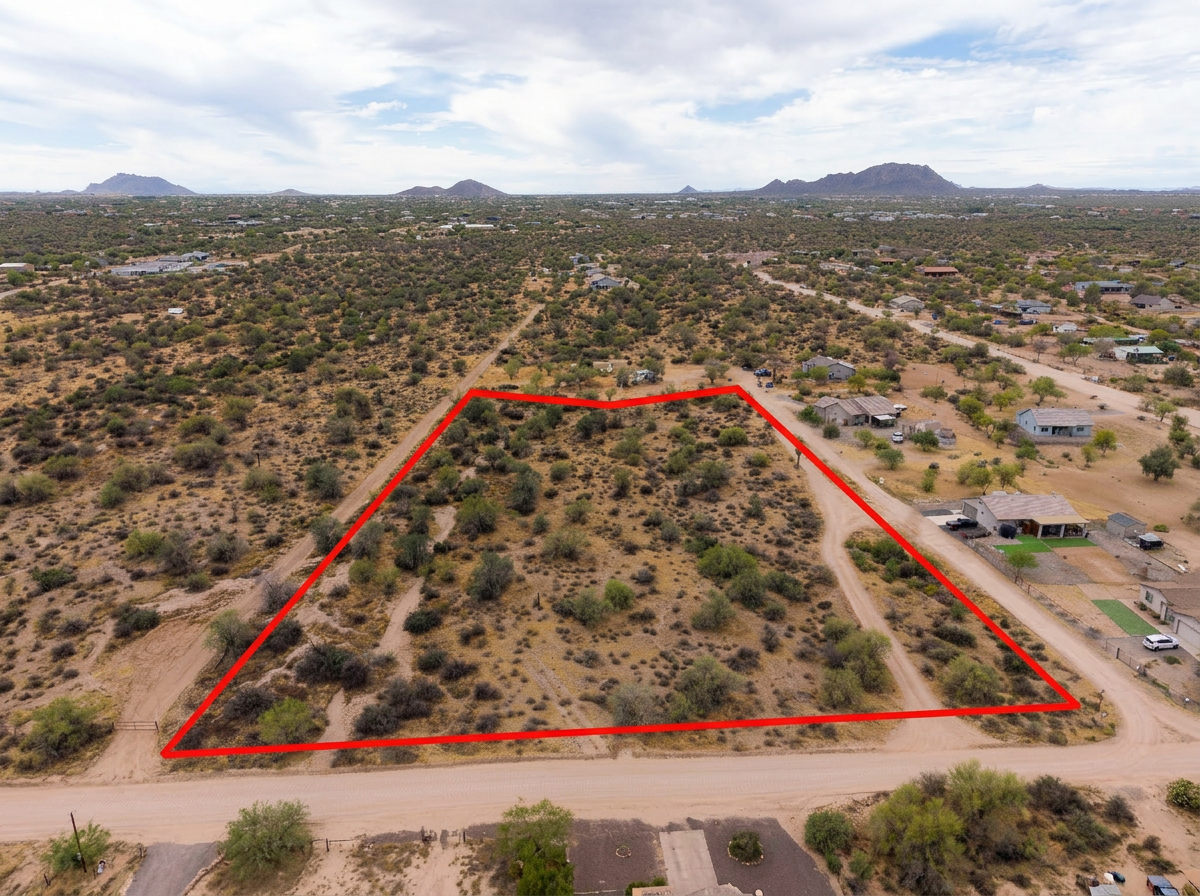
Parcel lines drawn on the aerials so buyers can see exactly where the lot starts and stops, which matters on infill lots and large acreage alike.
 Add-On
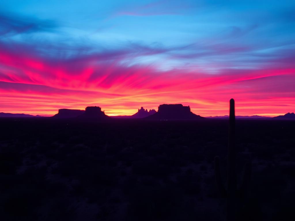
Golden-hour light and city-light views for premium listings that need to stand out.
 Bundle
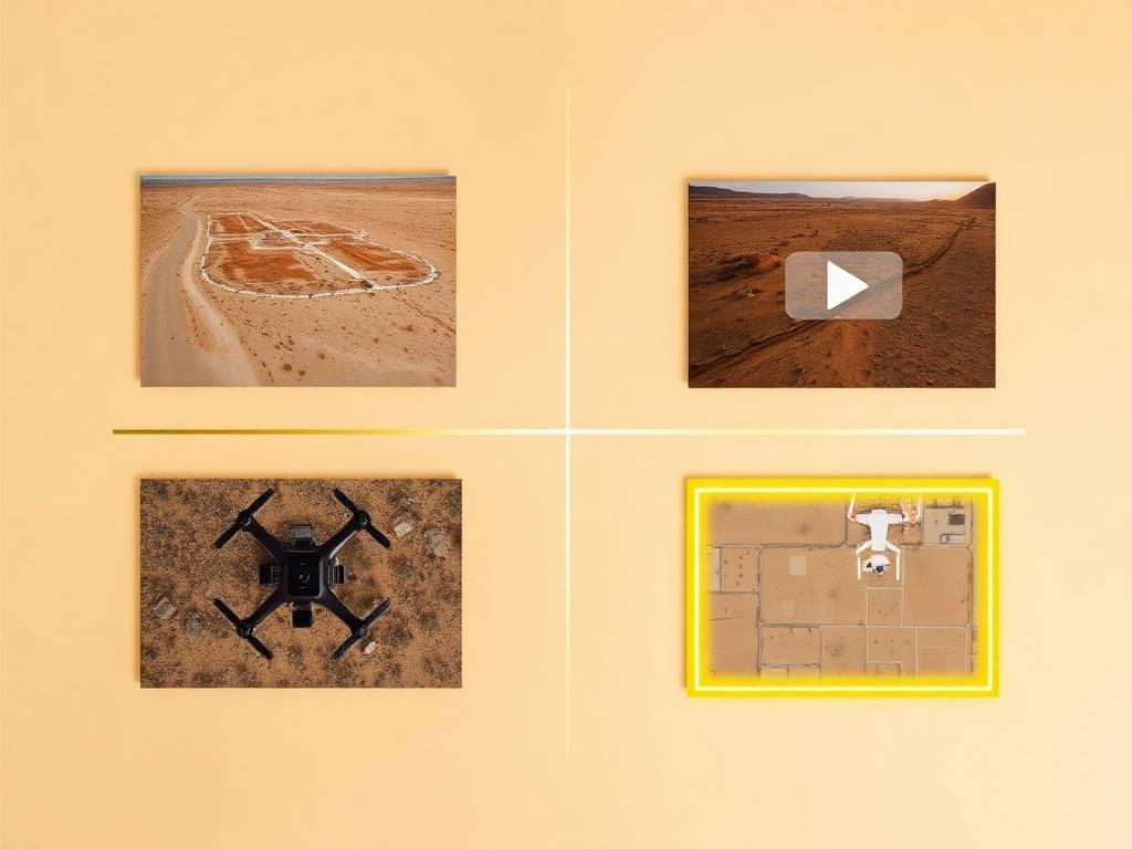
Drone photos, ground photos, video, and boundary overlay bundled at a discounted rate. The easiest choice for a Phoenix land listing.
Where We Shoot
Phoenix covers a lot of ground. We shoot land in every corner of the city and the unincorporated desert just beyond it.
Desert parcels in the north end of the city near the Sonoran Preserve, where saguaros, washes, and open views are the draw.
Lots along the I-17 corridor where access, nearby development, and road frontage are what buyers want to see.
West and southwest Phoenix land with Sierra Estrella views, where former farmland meets new neighborhoods.
Lots near South Mountain Park and Preserve, with hillside terrain and mountain backdrops that photograph beautifully from the air.
Unincorporated acreage north of the city, often on dirt roads, where showing access and terrain clearly is essential.
We photograph vacant land from Greater Phoenix through southern Arizona, including Maricopa, Pinal, Pima, and Santa Cruz counties. Send the address or APN and we'll confirm.
Check my parcelHow It Works
Send the Phoenix address or APN, access notes, and anything you want highlighted, like road frontage or views.
We review the parcel on mapping tools, check airspace around Sky Harbor and Deer Valley, and book the best light.
Our FAA-certified pilot and photographer capture drone and ground media.
Edited, delivery-ready photos and video delivered within 48 hours via download link.
FAQ
Nearby Service Areas
Get a Quote
Send us the address or APN and we'll get back to you within 24 hours with pricing and availability.
FAA Part 107 Licensed & Insured · 48-hour delivery · Phoenix to southern Arizona