 Core Service
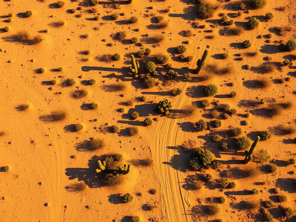
Aerial Drone Photography
High-resolution photos from multiple altitudes that capture the lot's slope, surrounding desert, and the mountain views Fountain Hills buyers want.
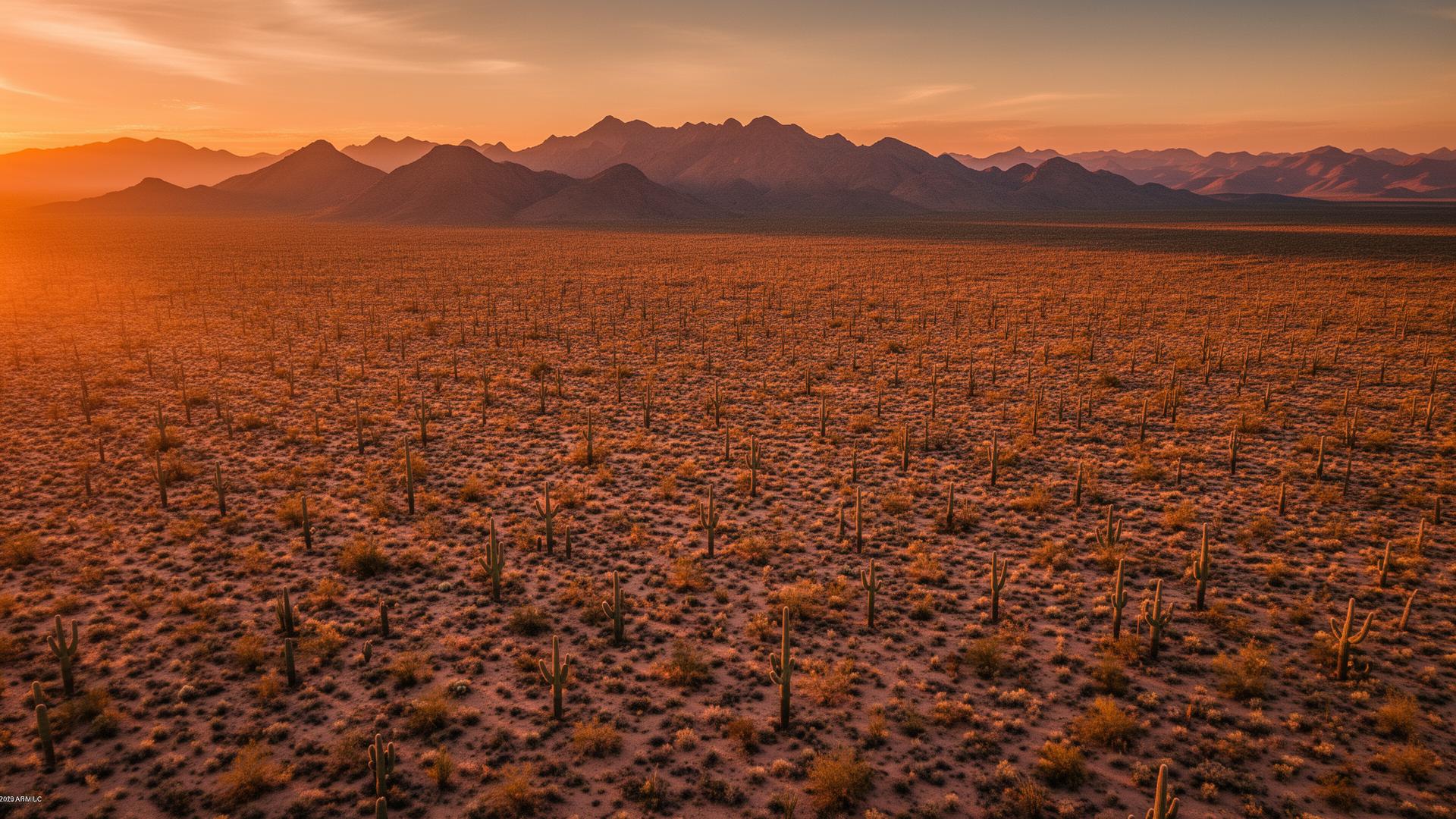
Fountain Hills lots are all about elevation and views. Hillside parcels look out on the McDowell Mountains, Four Peaks, and the valley below. We capture aerial and ground photography that shows buyers exactly what they'd see from the lot.
Fountain Hills Land Listings
Most vacant land in Fountain Hills sits on sloped, rocky Sonoran Desert terrain. That makes the view the main selling point, and it's the one thing a map screenshot can't show. A drone can rise to roughly where a home would sit and capture the view buyers are actually paying for.

Fountain Hills Services
Every service is tailored to make vacant land listings impossible to scroll past.
Core ServiceHigh-resolution photos from multiple altitudes that capture the lot's slope, surrounding desert, and the mountain views Fountain Hills buyers want.
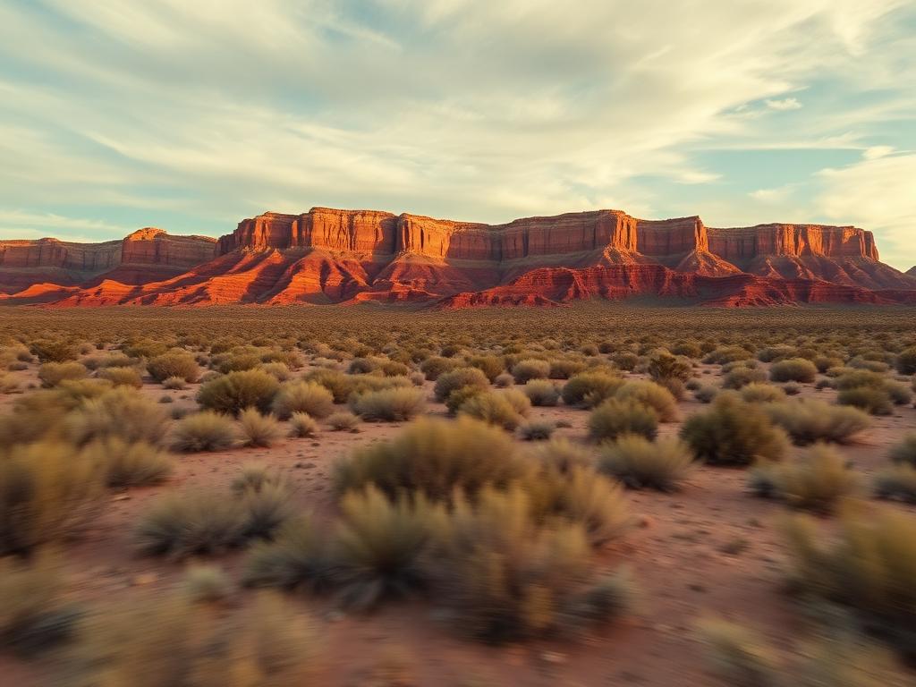
Cinematic flyovers that rise above the lot and reveal the view, ready for listing pages, social media, and reels.
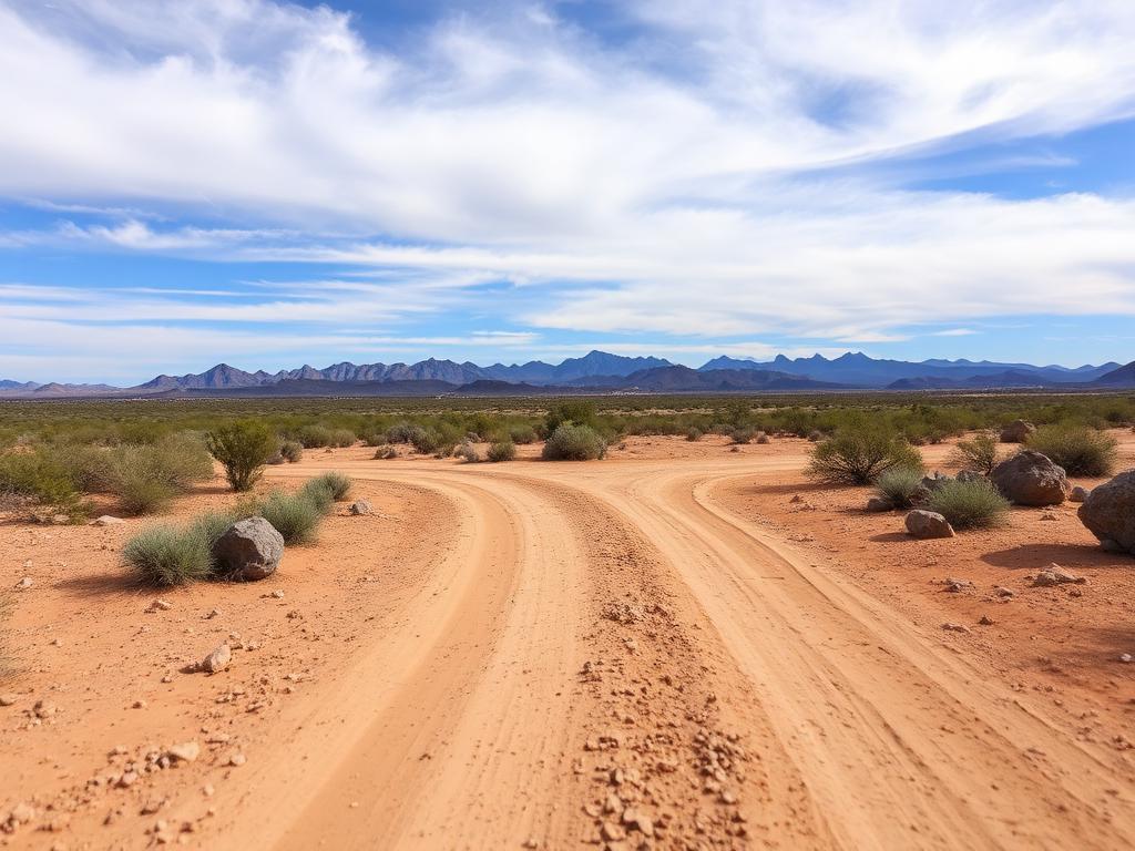 Core Service
On-the-ground photos of road access, rock outcrops, native vegetation, and the view from the street.
 Add-On
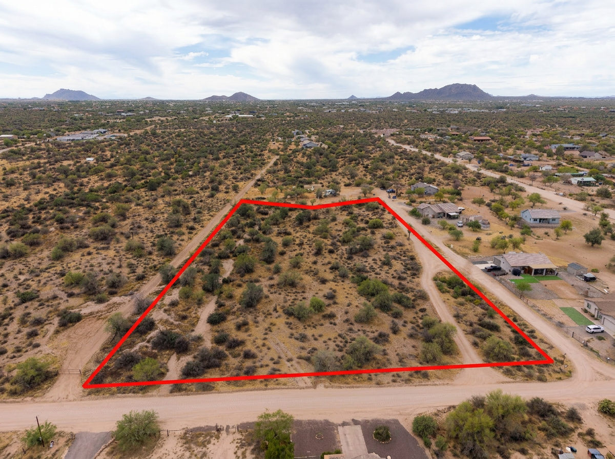
Parcel lines drawn on the aerials so buyers can see exactly where a hillside lot begins and ends.
 Add-On
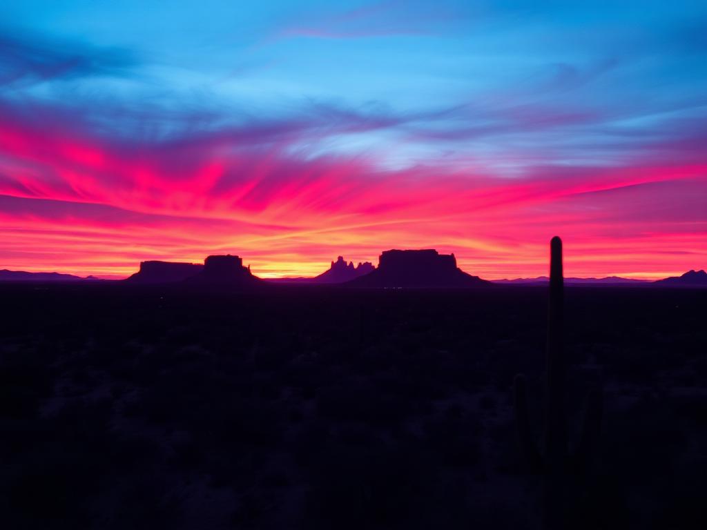
Warm golden-hour light on the McDowells and Four Peaks for premium view lots that need to stand out.
 Bundle
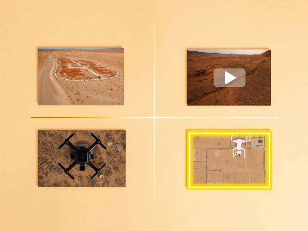
Drone photos, ground photos, video, and boundary overlay bundled at a discounted rate. The easiest choice for a Fountain Hills land listing.
Where We Shoot
From hillside view lots above town to acreage out toward Rio Verde, we know how to show Fountain Hills land at its best.
View lots on the slopes toward McDowell Mountain Regional Park, where elevation and open desert are the main attraction.
Lots in and around these golf communities, with fairway, mountain, and valley views.
Parcels near the town center and its famous fountain, where proximity to shops, trails, and the park is part of the story.
Lots along the main route between Fountain Hills and Scottsdale, where easy access is a key selling point.
Larger parcels and horse properties to the north, with open desert and Four Peaks on the horizon.
We photograph vacant land from Greater Phoenix through southern Arizona, including Maricopa, Pinal, Pima, and Santa Cruz counties. Send the address or APN and we'll confirm.
Check my parcelHow It Works
Send the Fountain Hills address or APN, access notes, and the views you want highlighted.
We review the parcel and slope on mapping tools, plan the best angles for the view, and book the best light.
Our FAA-certified pilot and photographer capture drone and ground media.
Edited, delivery-ready photos and video delivered within 48 hours via download link.
FAQ
Nearby Service Areas
Get a Quote
Send us the address or APN and we'll get back to you within 24 hours with pricing and availability.
FAA Part 107 Licensed & Insured · 48-hour delivery · Phoenix to southern Arizona