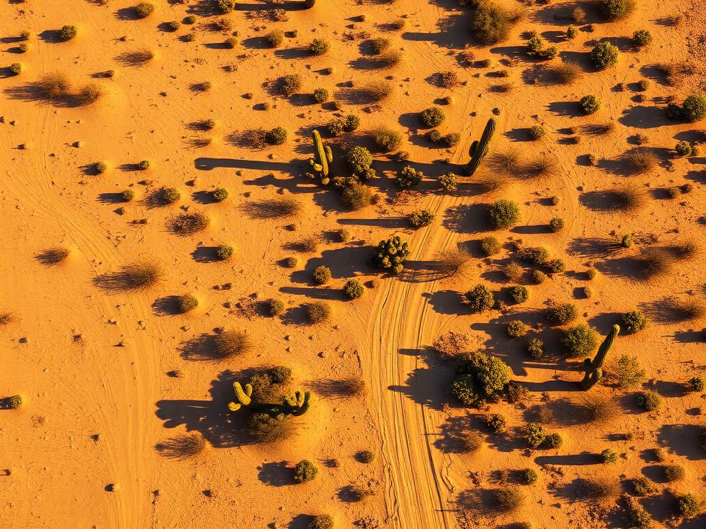
 Core Service
Aerial Drone Photography
High-resolution photos that show a Tempe infill lot's shape, curb cuts, and the buildings, canal, or lake around it.
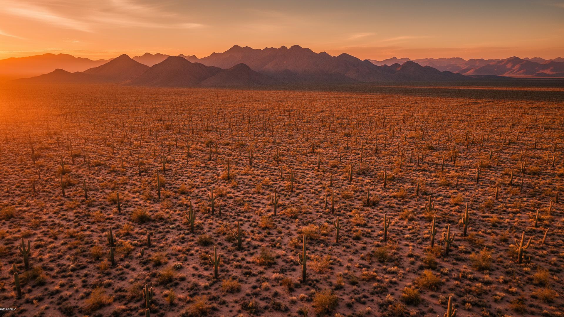
Vacant land in Tempe is mostly small infill and redevelopment lots. The city is built out between the Salt River and its southern neighborhoods, with Tempe Town Lake, the Papago Buttes, and the ASU campus occupying the ground people recognize. A listing still needs photos of the lot, the curb, and the buildings around it.
Tempe Land Listings
Tempe is an incorporated city in Maricopa County, filled in between Phoenix, Mesa, and the Town of Guadalupe. A land listing here is typically a small infill parcel or a redevelopment site near Tempe Town Lake, around the ASU campus, along the Salt River, or on a leftover lot in south Tempe. Aerials show how that piece sits against the street, the neighbors, and landmarks such as Hayden Butte and the Papago Buttes.

Tempe Services
Every service is tailored to make vacant land listings impossible to scroll past.
Core ServiceHigh-resolution photos that show a Tempe infill lot's shape, curb cuts, and the buildings, canal, or lake around it.
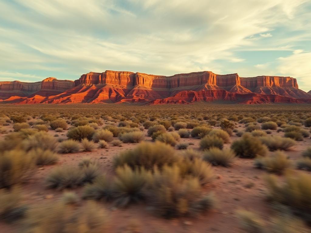
Short flyovers that circle a redevelopment site and pull back to Town Lake, Papago, Hayden Butte, or the surrounding blocks.
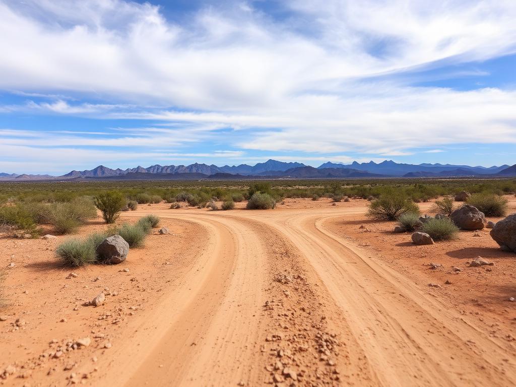 Core Service
Street-level photos of frontage, sidewalks, alley access, and what a buyer would see standing on the parcel.
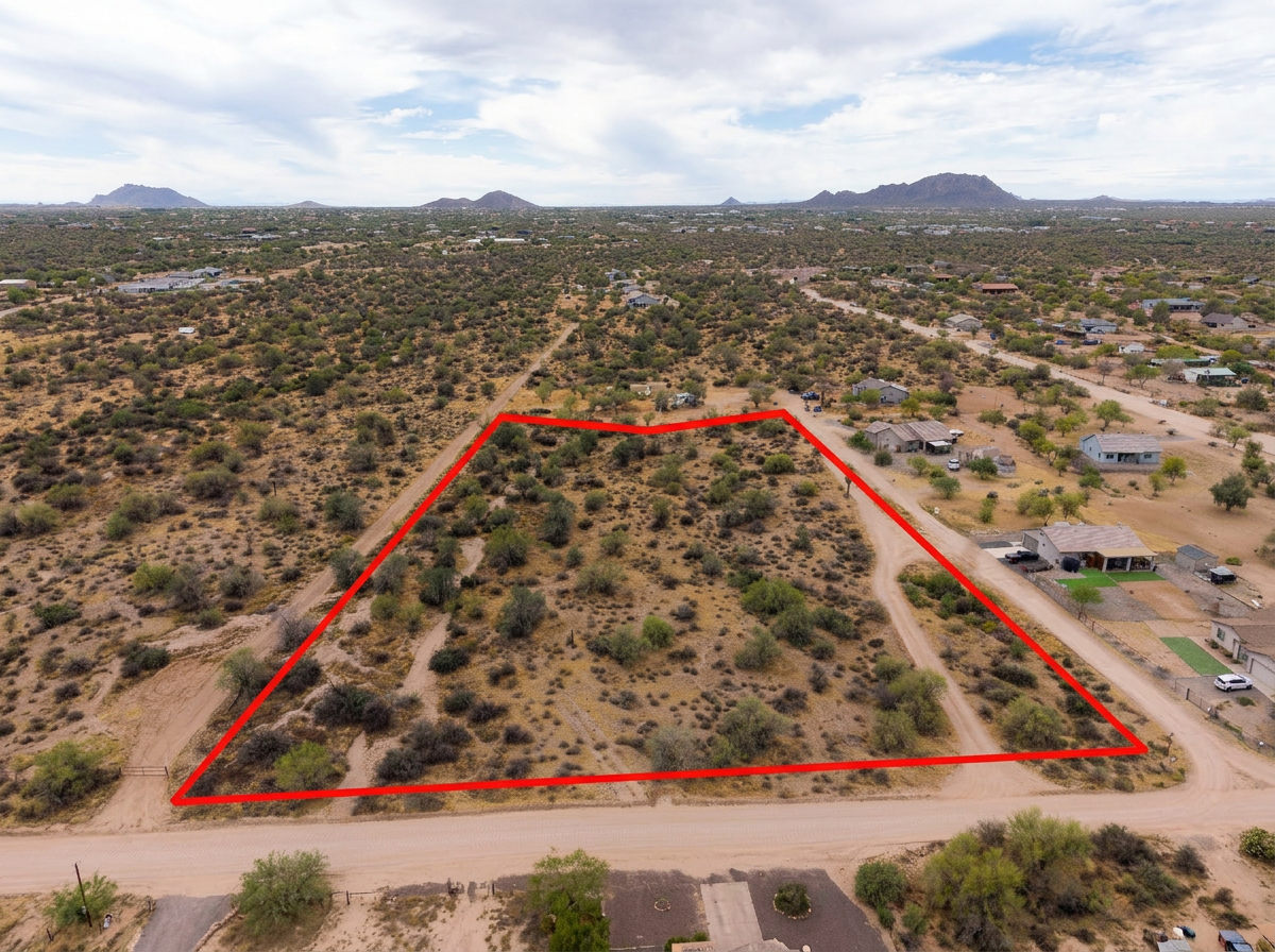 Add-On
Parcel lines drawn on the aerials so a small urban lot is obvious next to neighbors, easements, and the right-of-way.
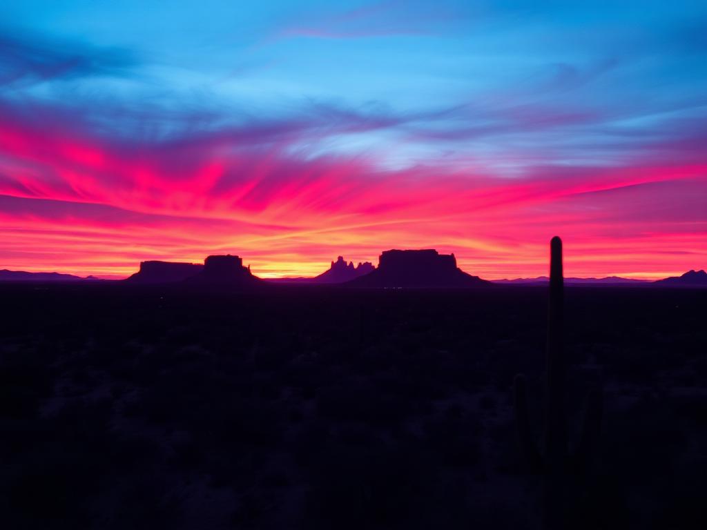 Add-On
Evening light on Town Lake, the Papago Buttes, and the city for a premium infill or redevelopment listing.
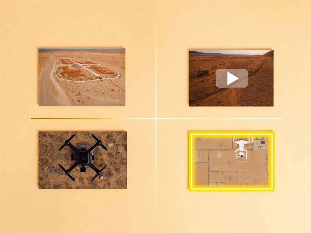 Bundle
Drone photos, ground photos, video, and boundary overlay bundled at a discounted rate. A useful set when the lot is small and the context is everything.
Where We Shoot
Tempe listings are urban. The differences are the lake, the buttes, the campus, and how tight the surrounding blocks are.
Infill and redevelopment sites along the lake and the Salt River channel, where water, bridges, and paths are the backdrop.
North Tempe around the Papago Buttes, which Tempe shares with Phoenix, and Hayden Butte (A Mountain) beside the lake.
Small parcels on the blocks around Arizona State University's Tempe campus and the Mill Avenue district.
Leftover lots in the neighborhoods toward Guadalupe, Chandler, and I-10, where the story is the street and the neighbors.
Parcels where Phoenix Sky Harbor's proximity is part of the context a buyer needs to see from above.
We photograph vacant land from Greater Phoenix through southern Arizona, including Maricopa, Pinal, Pima, and Santa Cruz counties. Send the address or APN and we'll confirm.
Check my parcelHow It Works
Send the Tempe address or APN and note any alley access, construction next door, or landmark you want in frame.
We review the lot, check Phoenix Sky Harbor airspace, and book a time that works around Class B authorization.
Our FAA-certified pilot and photographer capture drone and ground media.
Edited, delivery-ready photos and video delivered within 48 hours via download link.
FAQ
Nearby Service Areas
Get a Quote
Send us the address or APN and we'll get back to you within 24 hours with pricing and availability.
FAA Part 107 Licensed & Insured · 48-hour delivery · Phoenix to southern Arizona