 Core Service
Aerial Drone Photography
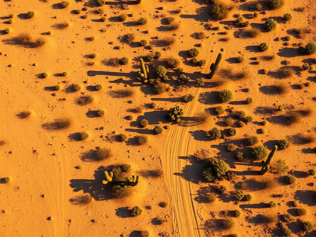
High-resolution photos from several altitudes that show whether a Mesa parcel is open desert, river-bottom land, or a lot inside the street grid, plus the mountain backdrop when the lot has one.
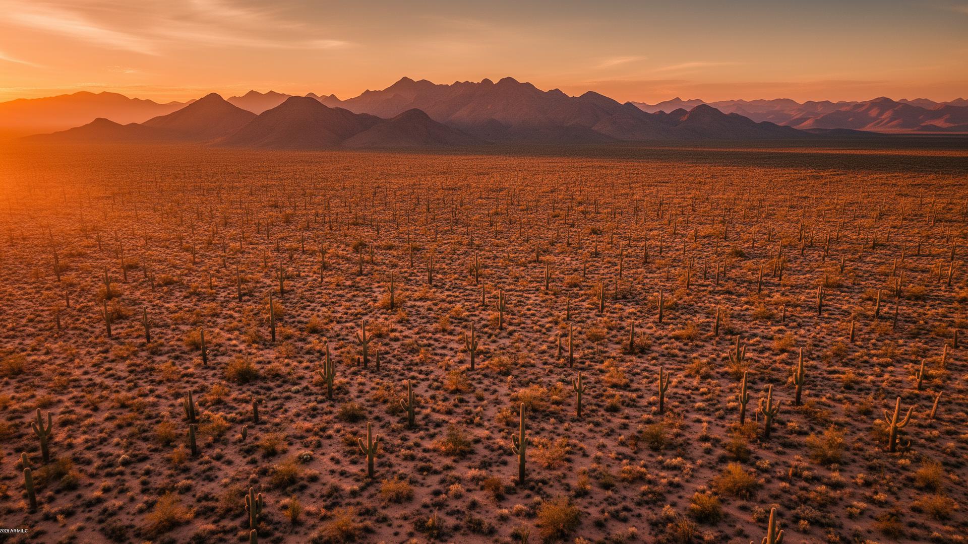
Mesa land changes character as you drive east. Much of the west side is neighborhoods, while northeast Mesa still has desert lots under the Usery Mountains and the Superstitions, and southeast Mesa has newer ground around Eastmark. We photograph the parcel, the access, and whatever view actually comes with it.
Mesa Land Listings
A Mesa listing might be a desert acre below Usery Mountain, a lot in Eastmark on the former General Motors Desert Proving Ground, a parcel along the Salt River in Lehi, or a smaller site closer to downtown. Aerial photos put each one in its real surroundings, from Red Mountain to the street grid.

Mesa Services
Every service is tailored to make vacant land listings impossible to scroll past.
Core ServiceHigh-resolution photos from several altitudes that show whether a Mesa parcel is open desert, river-bottom land, or a lot inside the street grid, plus the mountain backdrop when the lot has one.
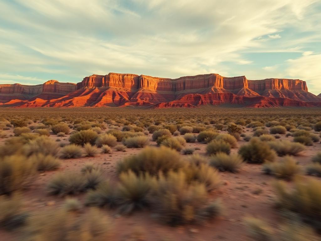
Flyovers that follow the approach, cross the parcel, and pull back toward Usery Mountain, the Superstitions, or the surrounding neighborhoods.
 Core Service
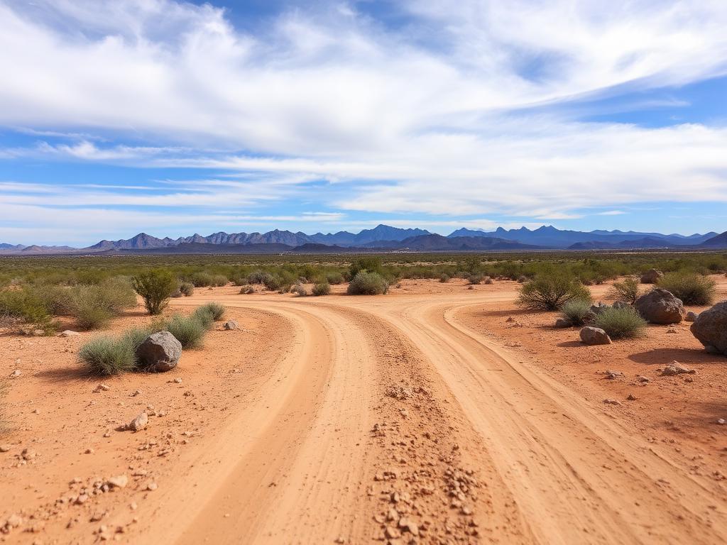
On-the-ground photos of street frontage, wash crossings, native desert, and the view from standing on the lot.
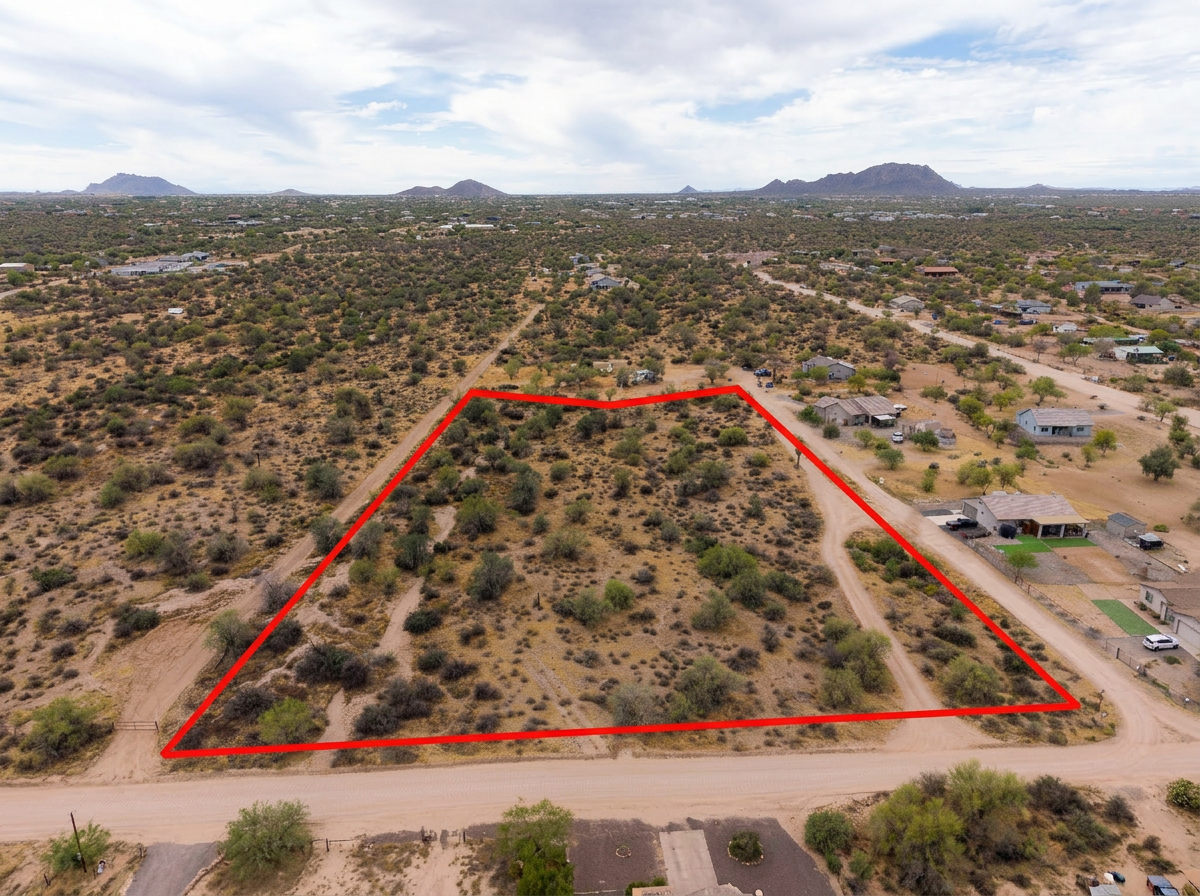 Add-On
Parcel lines drawn on the aerials so a buyer can separate the lot from the wash, the road, and the neighbor's fence.
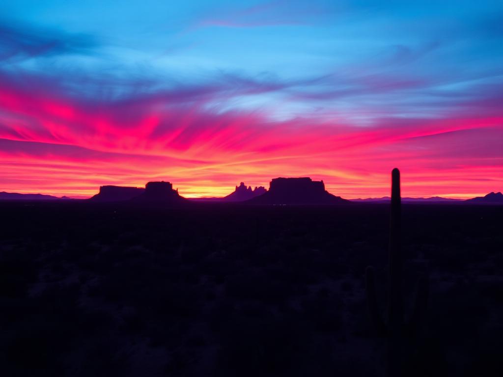 Add-On
Golden-hour light on the Superstitions and Red Mountain for east Mesa view lots that need more than midday sun.
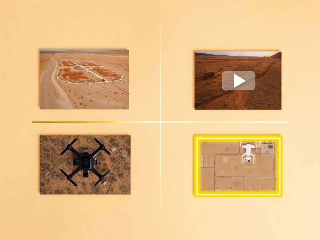 Bundle
Drone photos, ground photos, video, and boundary overlay bundled at a discounted rate. The straightforward choice for a Mesa land listing.
Where We Shoot
Mesa is a large city. Vacant land clusters on the desert edges, along the river, and in the remaining lots of newer southeast communities.
Northeast Mesa below Usery Mountain Regional Park, where slope, boulders, and long desert views are the listing.
Lots looking toward Red Mountain, with Sonoran vegetation and the Salt River valley opening to the west.
Master-planned ground on the former General Motors Desert Proving Ground, near Phoenix-Mesa Gateway Airport, where buyers want to see what is still open around the parcel.
North Mesa along the Salt River, across from the Salt River Pima-Maricopa Indian Community, including the older Lehi area.
Smaller leftover parcels nearer downtown and the western neighborhoods, where street access and neighboring buildings matter more than a mountain view.
We photograph vacant land from Greater Phoenix through southern Arizona, including Maricopa, Pinal, Pima, and Santa Cruz counties. Send the address or APN and we'll confirm.
Check my parcelHow It Works
Send the Mesa address or APN, any gate code, and whether you want the mountain view, the wash, or the street frontage emphasized.
We review the parcel, check airspace around Sky Harbor, Falcon Field, and Phoenix-Mesa Gateway, and book the light.
Our FAA-certified pilot and photographer capture drone and ground media.
Edited, delivery-ready photos and video delivered within 48 hours via download link.
FAQ
Nearby Service Areas
Get a Quote
Send us the address or APN and we'll get back to you within 24 hours with pricing and availability.
FAA Part 107 Licensed & Insured · 48-hour delivery · Phoenix to southern Arizona