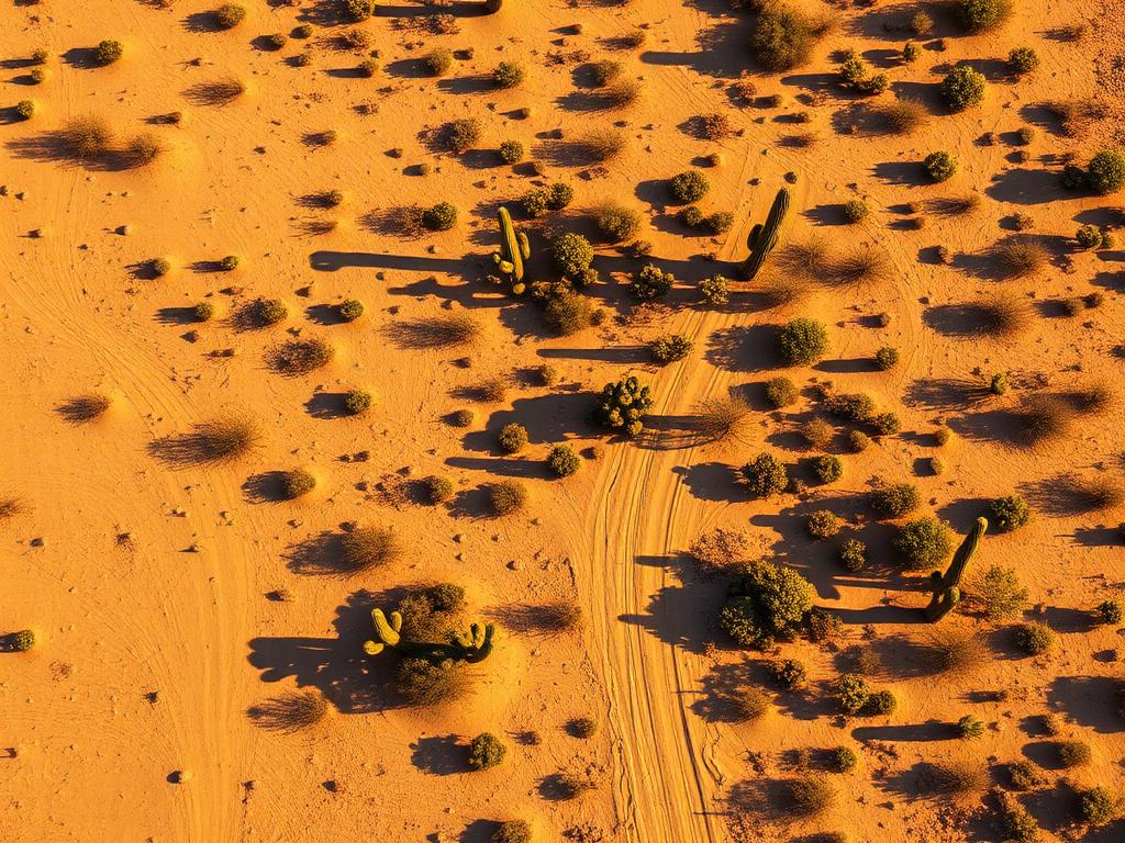
 Core Service
Aerial Drone Photography
High-resolution photos that show a Cave Creek parcel's slope, boulder cover, and the view toward Black Mountain or the Tonto.
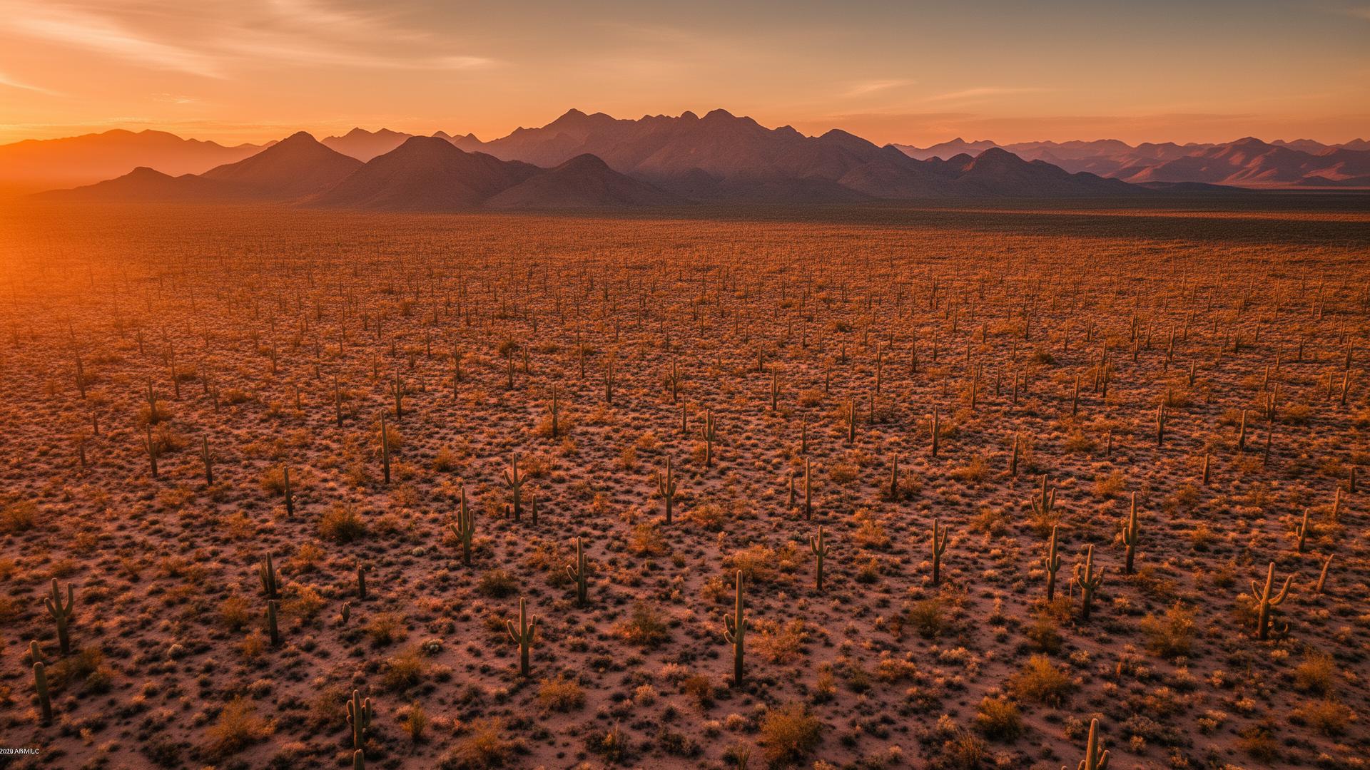
Cave Creek lots are high-desert horse properties and boulder hillsides on the north edge of the Valley. Black Mountain sits over the town, Spur Cross Ranch Conservation Area protects the creek corridor to the north, and the Tonto National Forest starts just beyond that. Buyers are paying for that setting.
Cave Creek Land Listings
The Town of Cave Creek is an incorporated town in Maricopa County, pressed against Carefree on the east and open desert on the north. Vacant land here is usually sloped Sonoran Desert: saguaros, washes, and granite, with room for horses on many parcels. A drone can rise to roughly the view from a future homesite and show the access road at the same time.

Cave Creek Services
Every service is tailored to make vacant land listings impossible to scroll past.
Core ServiceHigh-resolution photos that show a Cave Creek parcel's slope, boulder cover, and the view toward Black Mountain or the Tonto.
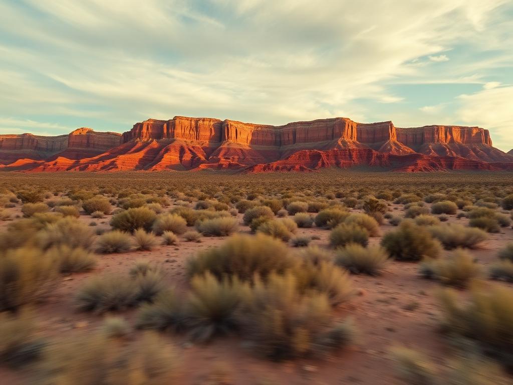
Cinematic flyovers that follow the dirt approach, cross the wash, and open onto the mountain backdrop.
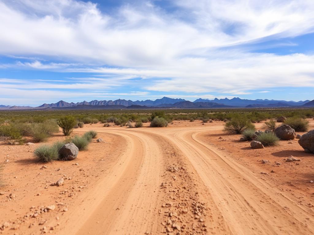 Core Service
On-the-ground photos of road access, rock outcrops, saguaros, and the view from where a house or barn would sit.
 Add-On
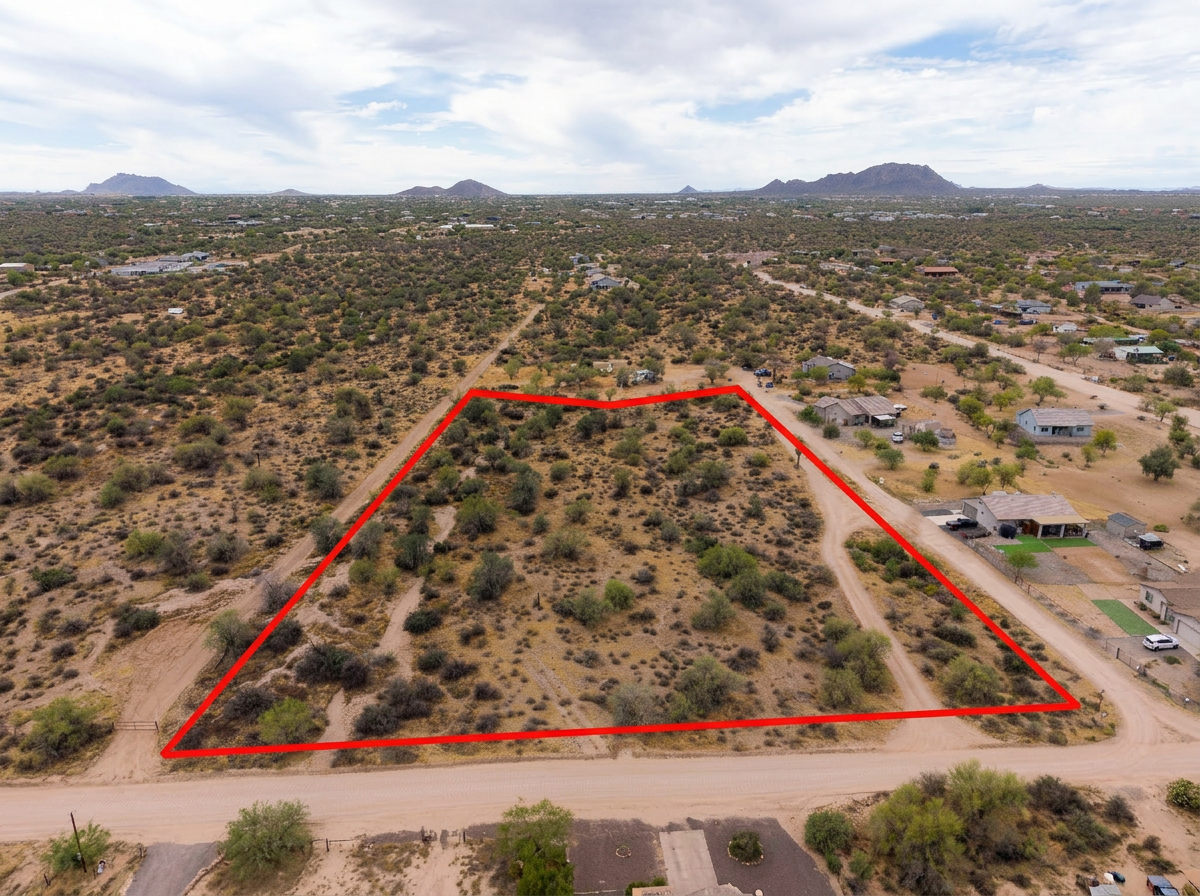
Parcel lines drawn on the aerials so buyers can follow an irregular hillside lot through the boulders and washes.
 Add-On
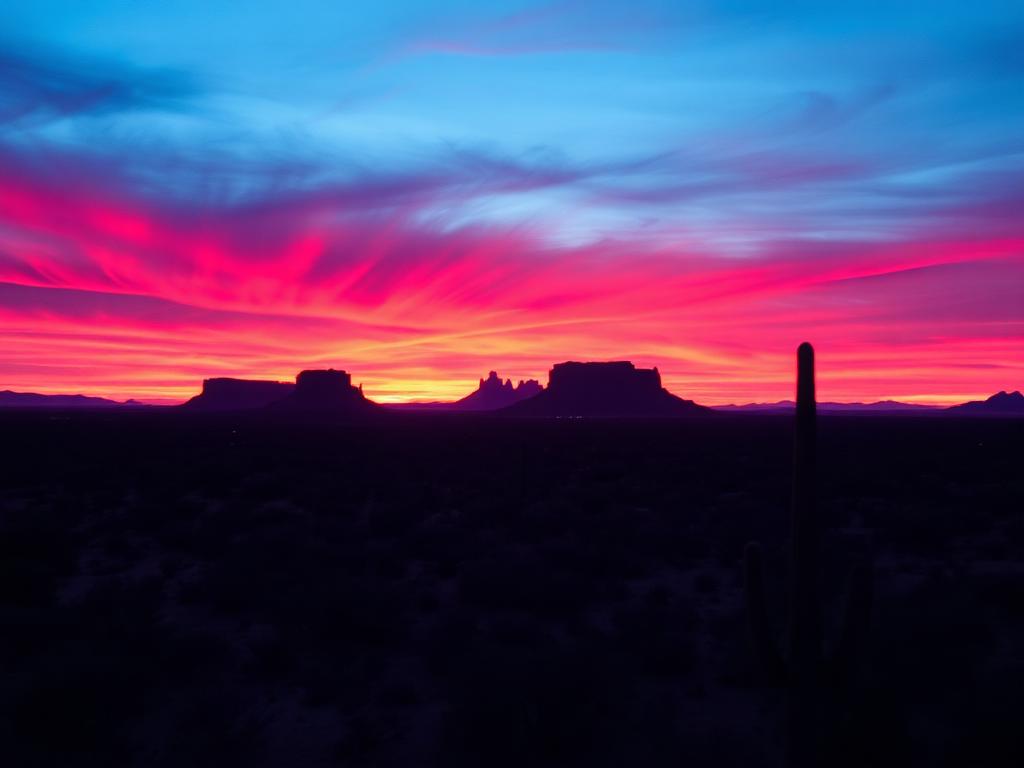
Low sun on Black Mountain and the granite for premium view lots and horse properties.
 Bundle
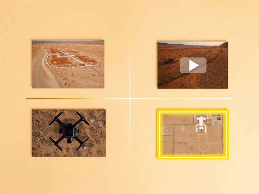
Drone photos, ground photos, video, and boundary overlay bundled at a discounted rate. A practical set for a Cave Creek land listing.
Where We Shoot
From the hills around Black Mountain to acreage where town streets give way to the national forest, Cave Creek land is about terrain.
Hillside parcels around the mountain that anchors town, where the view and the slope are the whole listing.
Private land near Spur Cross Ranch Conservation Area, where the Cave Creek riparian corridor meets upper Sonoran Desert.
Lots nearer the town center along Cave Creek Road, where an easy ride into town is part of what buyers want to see.
Larger parcels with corral room, wash crossings, and desert between the homes, common through the north side of town.
Acreage on the north and east edges, where the town meets Tonto National Forest and the desert gets quieter.
We photograph vacant land from Greater Phoenix through southern Arizona, including Maricopa, Pinal, Pima, and Santa Cruz counties. Send the address or APN and we'll confirm.
Check my parcelHow It Works
Send the Cave Creek address or APN, gate or neighbor-access notes, and the view or horse-property features you want shown.
We review the slope and access, check north-valley airspace, and schedule the shoot for light on Black Mountain.
Our FAA-certified pilot and photographer capture drone and ground media.
Edited, delivery-ready photos and video delivered within 48 hours via download link.
FAQ
Nearby Service Areas
Get a Quote
Send us the address or APN and we'll get back to you within 24 hours with pricing and availability.
FAA Part 107 Licensed & Insured · 48-hour delivery · Phoenix to southern Arizona