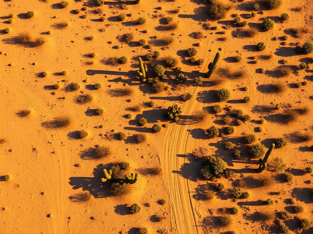
 Core Service
Aerial Drone Photography
Overhead and oblique photos that give a Toltec lot edges, road frontage, and a horizon of desert and the Picacho Mountains.
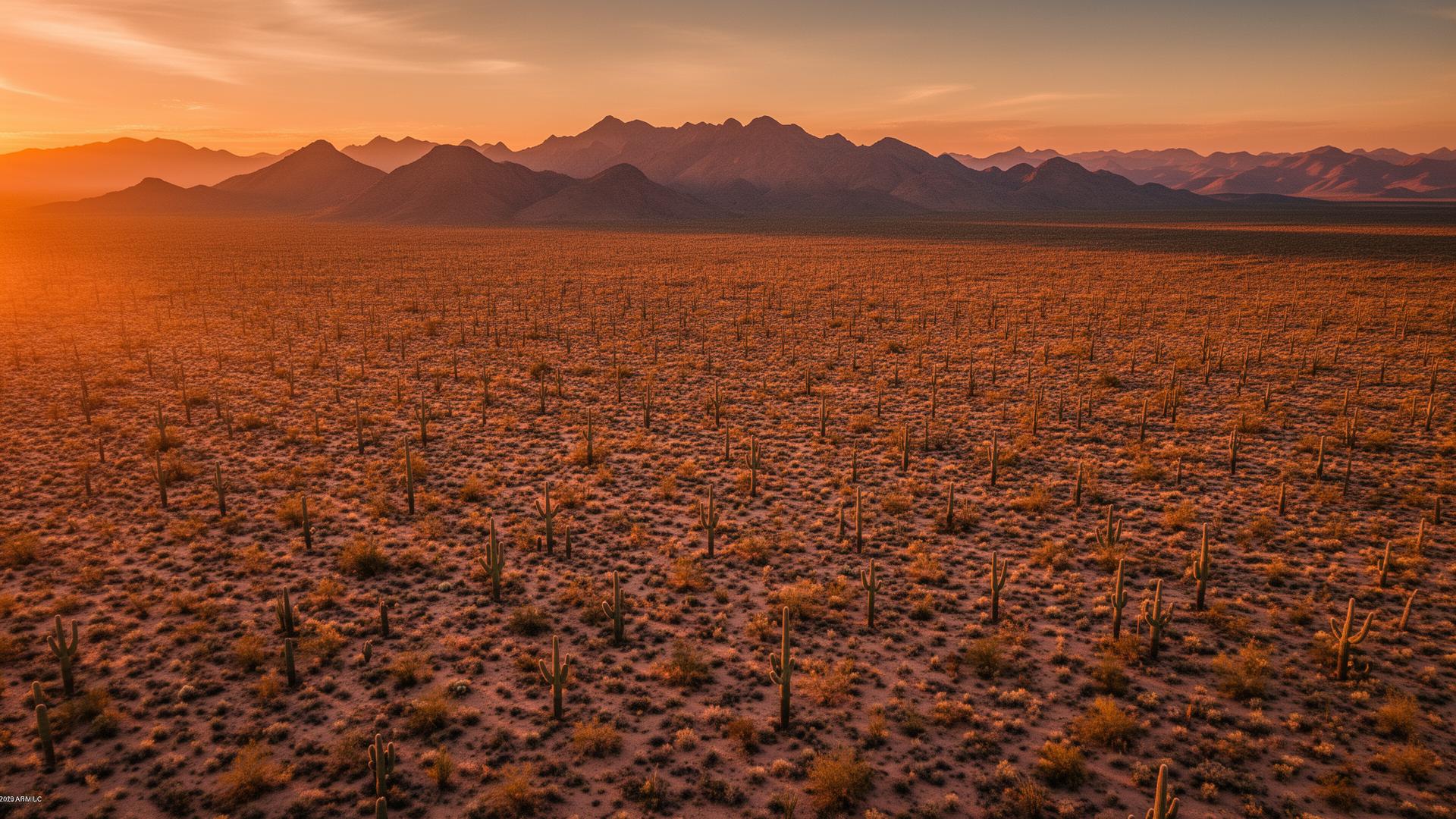
Toltec is a small unincorporated populated place in Pinal County, on the Santa Cruz Flats a few miles northeast of Arizona City and beside Eloy. The old highway through here is Frontier Street. The land is flat desert and farmland, and the Picacho Mountains sit on the eastern skyline.
Toltec Land Listings
Toltec is easy to miss on a map and easy to confuse with older plat names in the Arizona City and Eloy area. The ground itself is simple: level desert, fields, and a sparse road grid along the I-10 corridor. An aerial, with the parcel drawn on it, tells a buyer which rectangle they are actually looking at.

Toltec Services
Every service is tailored to make vacant land listings impossible to scroll past.
Core ServiceOverhead and oblique photos that give a Toltec lot edges, road frontage, and a horizon of desert and the Picacho Mountains.
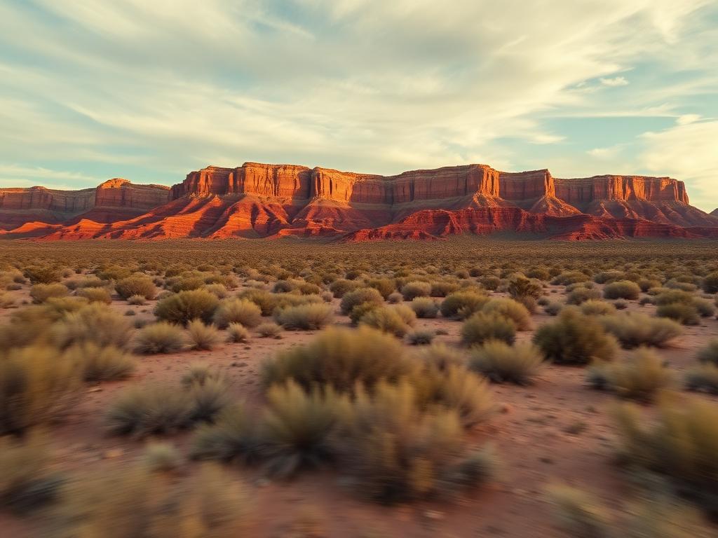
A flyover along the flats and Frontier Street so a remote buyer can see how empty, or how farmed, the surroundings are.
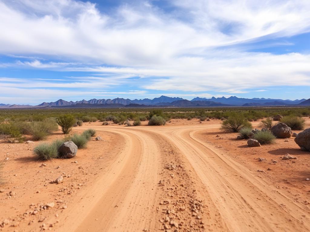 Core Service
Ground photos of the road, the soil, and the long view, which on this terrain is the listing.
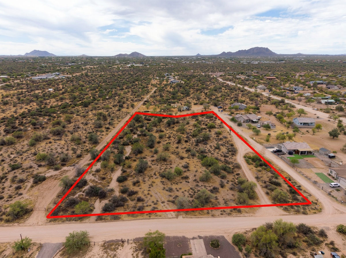 Add-On
Parcel lines on the aerials. On the Santa Cruz Flats, that outline does more work than it does in a hillside town.
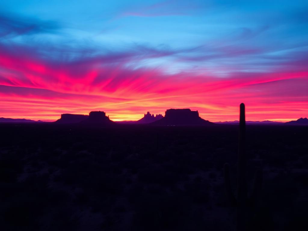 Add-On
Late light across flat desert, when the Picacho Mountains take on color and a noon photo would look washed out.
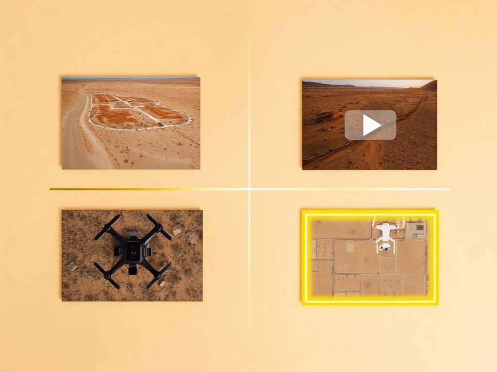 Bundle
Drone photos, ground photos, video, and boundary overlay bundled at a discounted rate for a Toltec parcel.
Where We Shoot
Toltec covers a small patch of the flats. The useful distinctions are the road, the fields, and the open desert.
Lots along the old SR 84 alignment, called Frontier Street through Toltec and Eloy, where frontage is the practical selling point.
Parcels where irrigated farmland stops and desert lots begin, a line that is obvious from the air.
Bare desert parcels with few landmarks besides the road grid and the mountains to the east.
The east side of the area, looking toward the Picacho Mountains and Picacho Peak.
The short drives southwest to Arizona City and into Eloy, which are the two places buyers use to locate Toltec.
We photograph vacant land from Greater Phoenix through southern Arizona, including Maricopa, Pinal, Pima, and Santa Cruz counties. Send the address or APN and we'll confirm.
Check my parcelHow It Works
Send the APN plus any street address. Toltec shows up on older plats, so the parcel number is the reliable pin.
We match the APN on mapping tools, check Eloy-area skydiving traffic, and schedule the flight.
Our FAA-certified pilot and photographer capture drone and ground media.
Edited, delivery-ready photos and video delivered within 48 hours via download link.
FAQ
Nearby Service Areas
Get a Quote
Send us the address or APN and we'll get back to you within 24 hours with pricing and availability.
FAA Part 107 Licensed & Insured · 48-hour delivery · Phoenix to southern Arizona