 Core Service
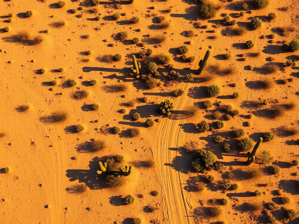
Aerial Drone Photography
High-resolution photos that place a Picacho parcel against the peak, the pass, or the open creosote desert, from more than one altitude.
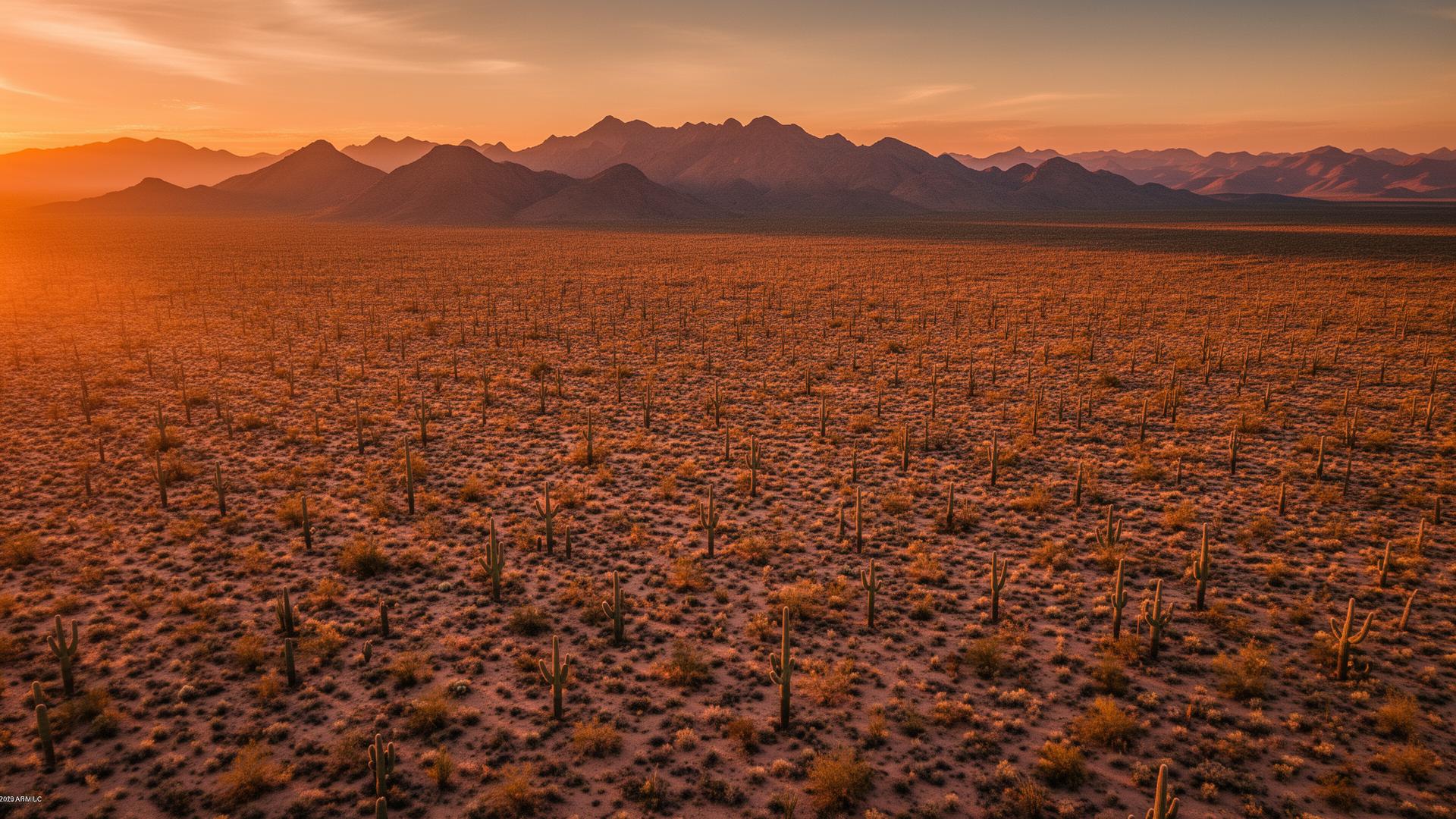
Picacho Peak is the landmark of this stretch of I-10, and the small community of Picacho sits at its foot in Pinal County. This page covers both: the census-designated place and the desert around Picacho Peak and Picacho Pass. The peak, the pass, and the flats are the listing.
Picacho Land Listings
Picacho Peak rises roughly 1,500 feet from the desert beside I-10, about 40 miles north of Tucson. The pass below it has been a travel route for centuries, and in April 1862 it was the site of the Battle of Picacho Pass, often called the westernmost battle of the Civil War. Around that landmark are desert parcels, the little community of Picacho, and a horizon of the Picacho Mountains, including Newman Peak, to the north. Spring wildflowers cover the slopes in a good year.

Picacho Services
Every service is tailored to make vacant land listings impossible to scroll past.
Core ServiceHigh-resolution photos that place a Picacho parcel against the peak, the pass, or the open creosote desert, from more than one altitude.
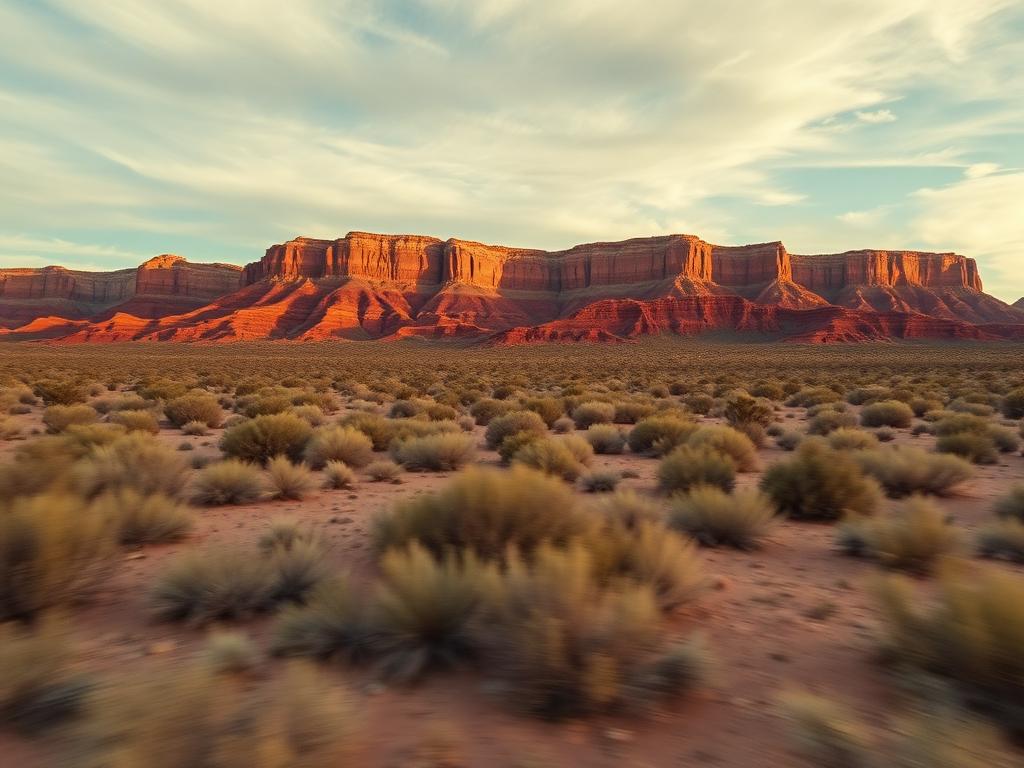
Flyovers that approach along the desert and reveal Picacho Peak the way drivers see it from I-10, then drop to the lot.
 Core Service
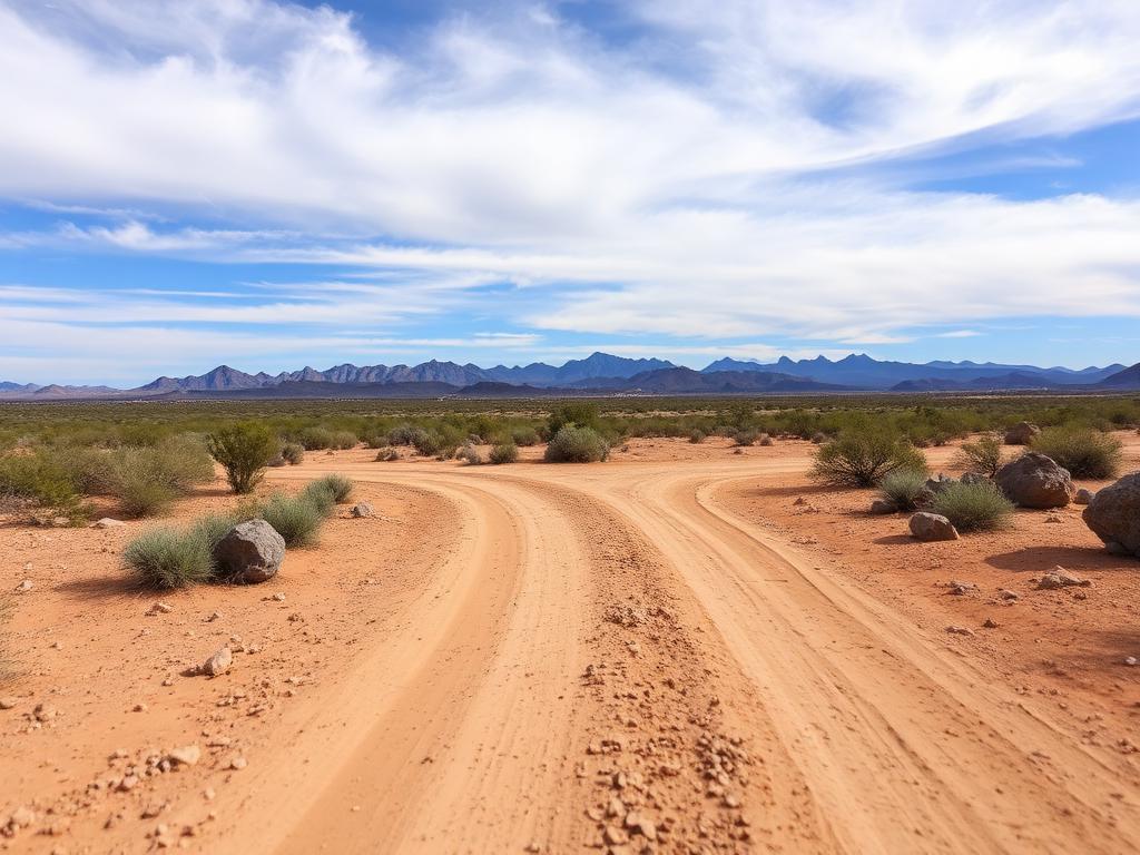
Ground photos of access roads, saguaros, and the peak from the spot where someone would stand on the parcel.
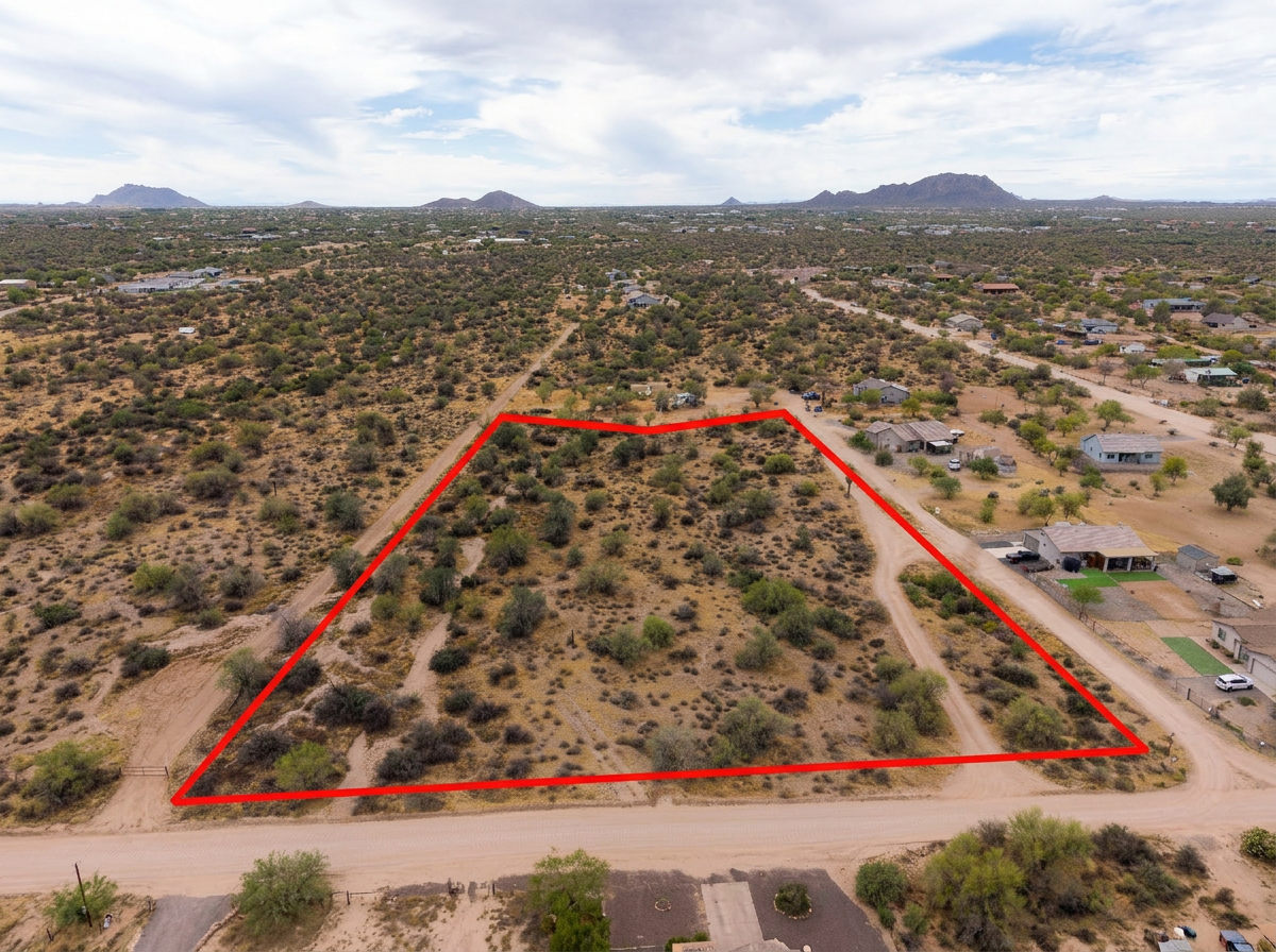 Add-On
Parcel lines on the aerials so buyers can see the lot separately from the state park, the highway, and the wash.
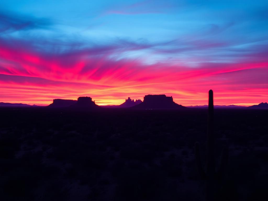 Add-On
Late light on Picacho Peak, when the rock turns copper and the desert floor falls into shadow.
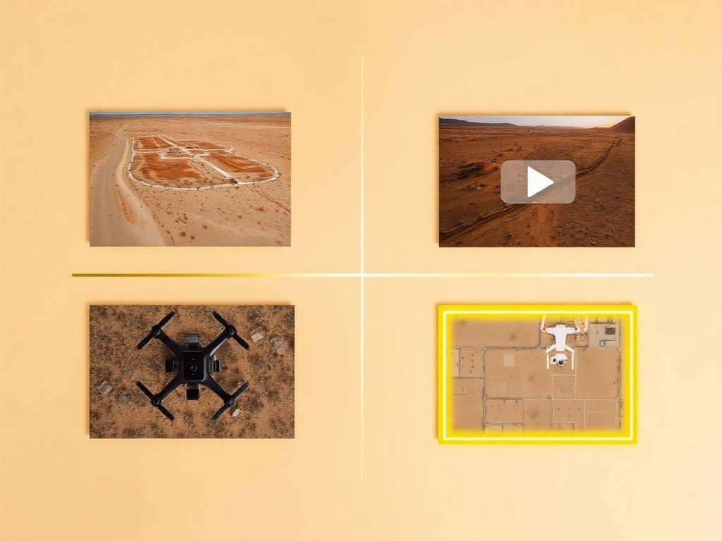 Bundle
Drone photos, ground photos, video, and boundary overlay bundled at a discounted rate for a Picacho or Picacho Peak listing.
Where We Shoot
One page covers the community and the peak. The land around both is classic lower Sonoran Desert on the Pinal County side of the pass.
Private desert around Picacho Peak State Park, off I-10 at exit 219, where the peak is the reason the land is interesting.
The narrow corridor of highway, railroad, and desert that funnels traffic between the Tucson basin and the Santa Cruz Flats.
The small census-designated place itself, a quiet cluster beside the pass rather than a town center.
Desert looking north to the Picacho Mountains and Newman Peak, a different skyline from the lone peak by the freeway.
Flats northwest toward Eloy and southeast toward Red Rock, where desert and farmland trade off.
We photograph vacant land from Greater Phoenix through southern Arizona, including Maricopa, Pinal, Pima, and Santa Cruz counties. Send the address or APN and we'll confirm.
Check my parcelHow It Works
Send the Picacho address or APN and say if the peak, the pass, or the highway proximity is the feature to show.
We review the parcel against the state park boundary, check Eloy skydiving traffic and other airspace, and book the light on the peak.
Our FAA-certified pilot and photographer capture drone and ground media.
Edited, delivery-ready photos and video delivered within 48 hours via download link.
FAQ
Nearby Service Areas
Get a Quote
Send us the address or APN and we'll get back to you within 24 hours with pricing and availability.
FAA Part 107 Licensed & Insured · 48-hour delivery · Phoenix to southern Arizona