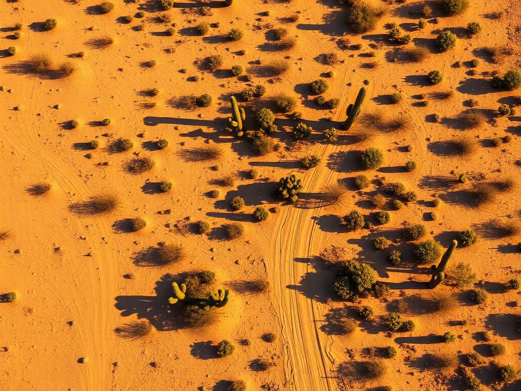
 Core Service
Aerial Drone Photography
High-resolution photos that give a flat Arizona City lot a shape, and show whether it faces the lake, the golf course, farmland, or open desert.
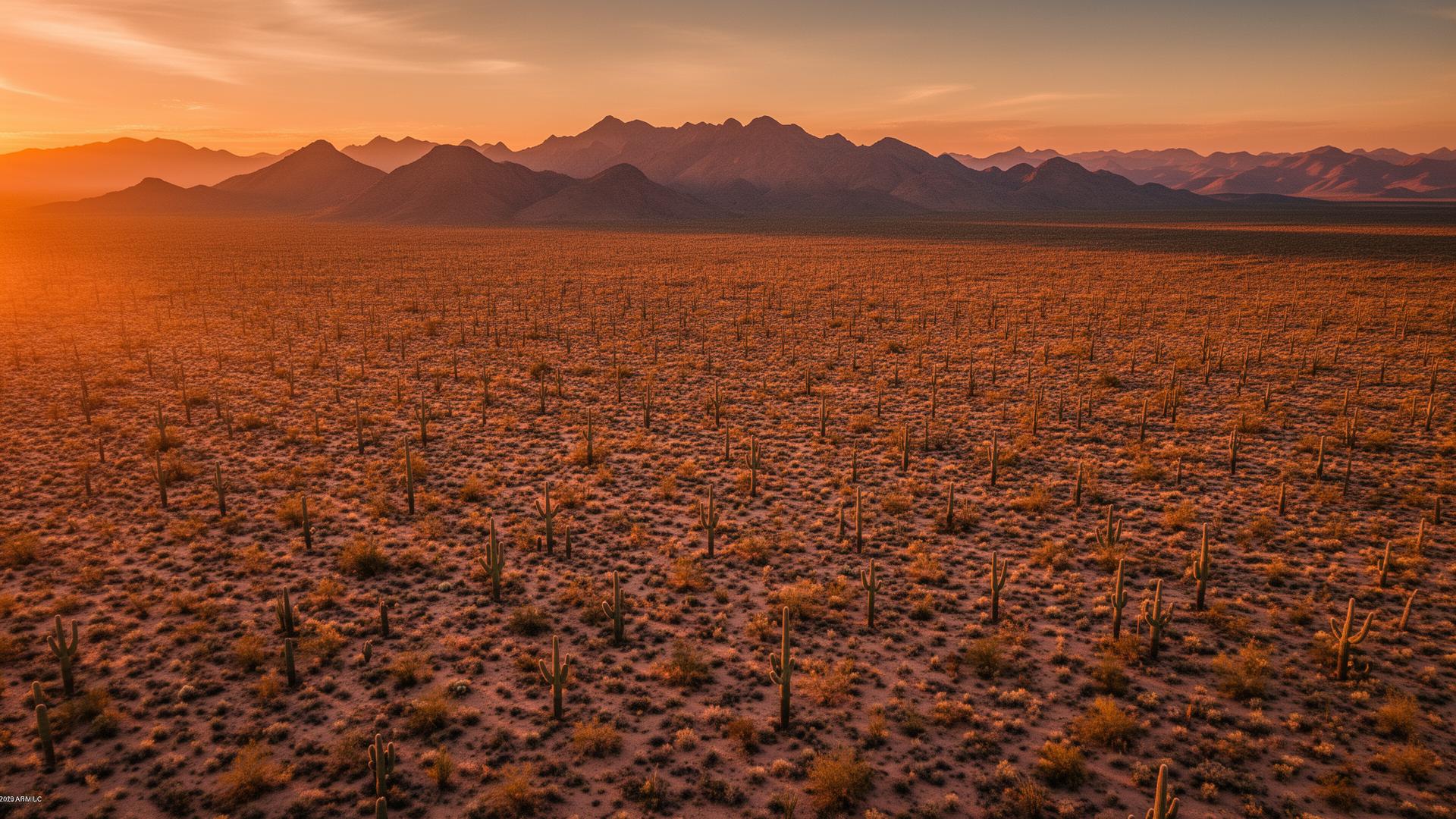
Arizona City is an unincorporated community on the Santa Cruz Flats in Pinal County, south of I-10 between Casa Grande and Eloy. The ground is flat desert and old farmland, with Paradise Lake and a golf course inside the community and the Picacho Mountains on the eastern horizon. Aerials make a flat parcel readable.
Arizona City Land Listings
From the air, the Santa Cruz Flats can look like one continuous desert. On the ground, Arizona City mixes residential blocks, open lots, the 18-hole Arizona City Golf Course, and the man-made Paradise Lake, with the Sawtooth Mountains to the south, the Casa Grande Mountains to the north, and the Tohono O'odham Nation to the west. Buyers need to see which of those a parcel touches.

Arizona City Services
Every service is tailored to make vacant land listings impossible to scroll past.
Core ServiceHigh-resolution photos that give a flat Arizona City lot a shape, and show whether it faces the lake, the golf course, farmland, or open desert.
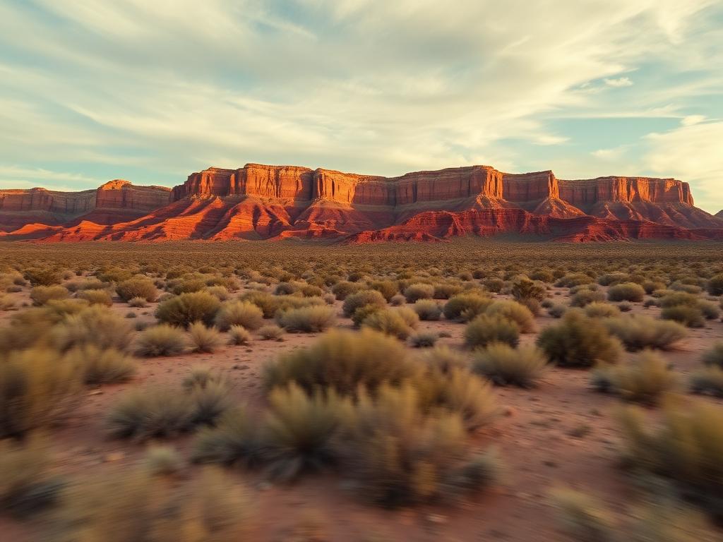
Flyovers across the Santa Cruz Flats that pull back to the Picacho Mountains and the community's grid of roads.
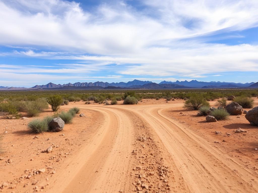 Core Service
Street-level photos of frontage, desert pavement, and the long sightlines that define this part of Pinal County.
 Add-On
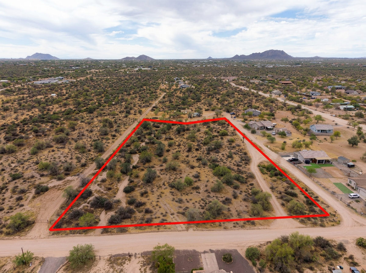
Parcel lines drawn on the aerials so buyers can pick one rectangle out of the flats.
 Add-On
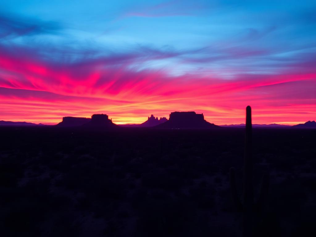
Low sun across the flats, with the Picacho Mountains catching the last light, for listings that need more than a noon overhead.
 Bundle
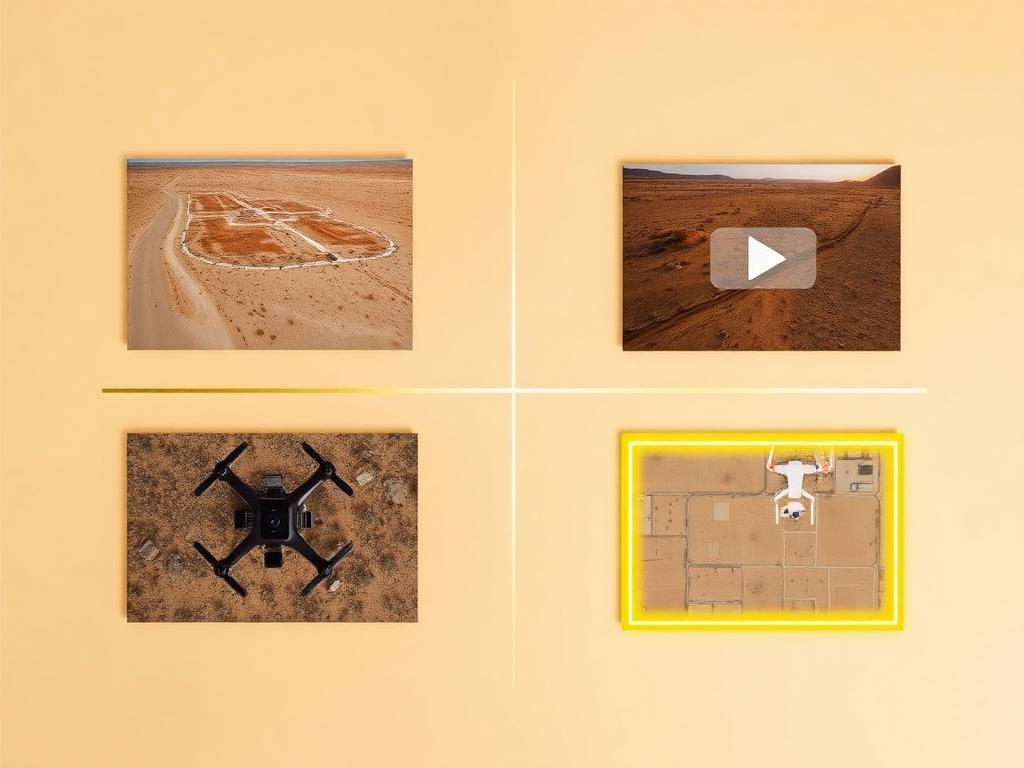
Drone photos, ground photos, video, and boundary overlay bundled at a discounted rate. A practical set for an Arizona City land listing.
Where We Shoot
Arizona City is one community spread over flat ground. The listings differ by what sits next to the lot.
Residential lots around the community's man-made lake, where water is the feature the aerial has to prove.
Parcels near Arizona City Golf Course, with fairways on one side and desert lots on the other.
Open lots where creosote desert meets irrigated fields on the Santa Cruz Flats.
Lots with a long view to the Picacho Mountains and, farther southeast, Picacho Peak.
The open desert side of the community, with the Tohono O'odham Nation beyond the flats to the west.
We photograph vacant land from Greater Phoenix through southern Arizona, including Maricopa, Pinal, Pima, and Santa Cruz counties. Send the address or APN and we'll confirm.
Check my parcelHow It Works
Send the Arizona City address or APN and say whether the lot is by the lake, the golf course, or out on the flats.
We review the parcel, check airspace and the busy skydiving operations around Eloy, and book the light.
Our FAA-certified pilot and photographer capture drone and ground media.
Edited, delivery-ready photos and video delivered within 48 hours via download link.
FAQ
Nearby Service Areas
Get a Quote
Send us the address or APN and we'll get back to you within 24 hours with pricing and availability.
FAA Part 107 Licensed & Insured · 48-hour delivery · Phoenix to southern Arizona