 Core Service
Aerial Drone Photography
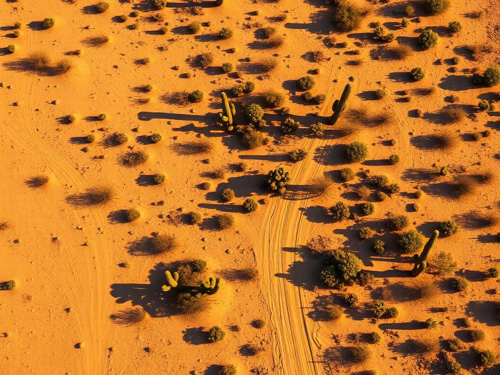
High-resolution photos that show a Stanfield parcel against the crop rows, dairy grounds, canal, or raw desert around it.
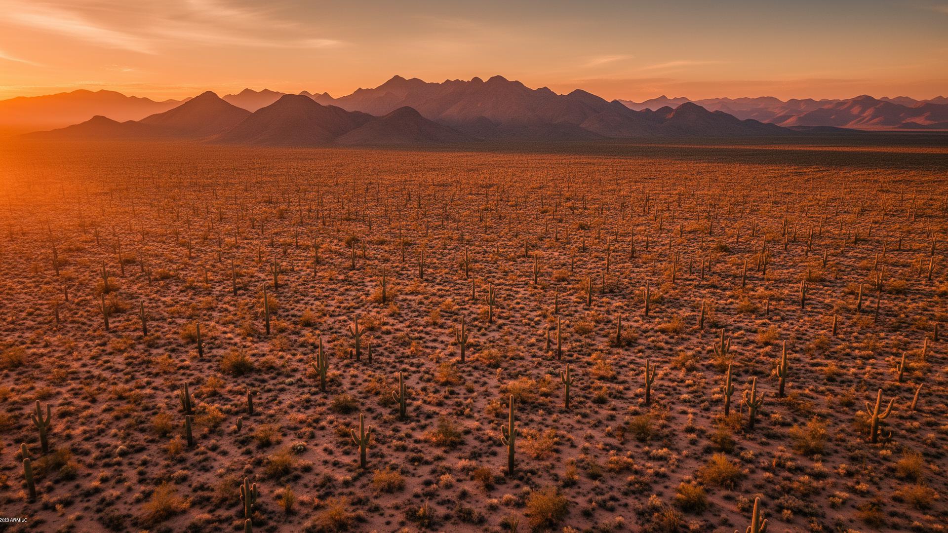
Stanfield is a small unincorporated community in Pinal County, about 12 miles west of Casa Grande on State Route 84. Irrigated fields and dairy ground line the highway, and the desert opens up again toward I-8 and the Sonoran Desert National Monument to the south. From above, a parcel's relationship to the fields is obvious.
Stanfield Land Listings
SR 84 is the main street. East of the SR 347 junction the country is farmland on the way into Casa Grande. West of town it turns back to open desert toward I-8. The Santa Rosa Canal crosses the country south of town. Buyers looking at Stanfield land usually need to know which of those edges the parcel is on.

Stanfield Services
Every service is tailored to make vacant land listings impossible to scroll past.
Core ServiceHigh-resolution photos that show a Stanfield parcel against the crop rows, dairy grounds, canal, or raw desert around it.
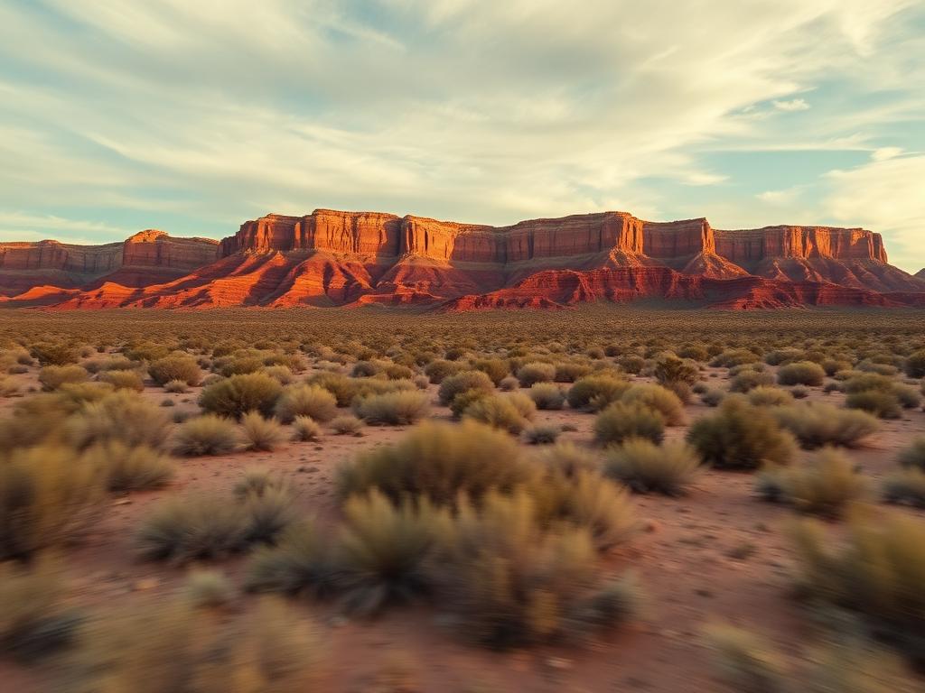
Flyovers that follow SR 84 or the farm road in, then rise so the fields and the open desert read as two different landscapes.
 Core Service
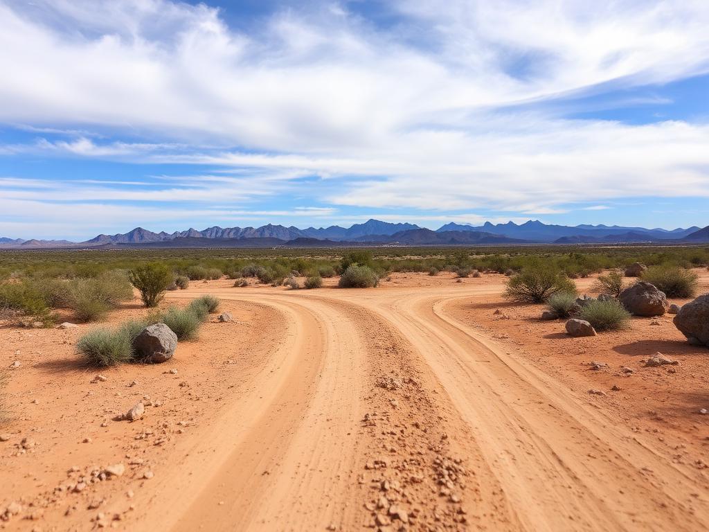
Ground photos of road access, soil, irrigation edges, and the flat horizon buyers will see from the lot.
 Add-On
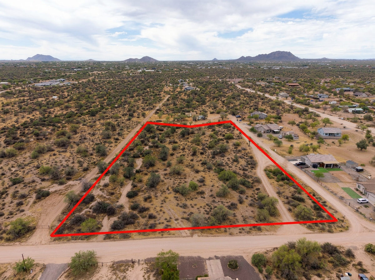
Parcel lines on the aerials so a buyer can tell one cultivated block, or one desert rectangle, from the next.
 Add-On
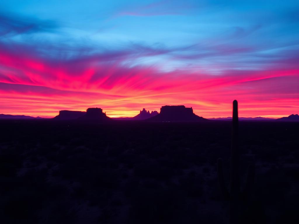
Low-angle light that picks up furrows, berms, and desert texture a midday overhead flattens.
 Bundle
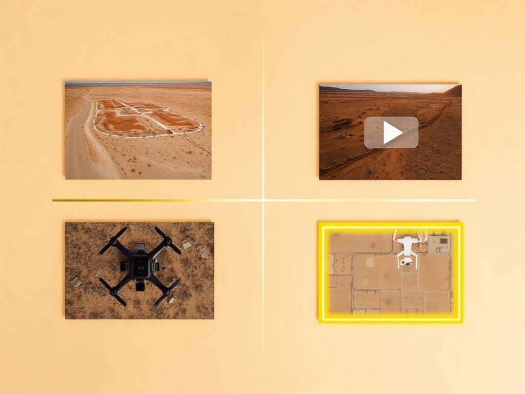
Drone photos, ground photos, video, and boundary overlay bundled at a discounted rate for a Stanfield listing.
Where We Shoot
Stanfield is a farm community with desert on its edges. The aerial is about which side of that line the lot is on.
Parcels with frontage on SR 84, the highway that runs through town between I-8 and Casa Grande.
Farmland east and around town, where canals, crop rows, and section-line roads define the parcels.
The country south of town toward I-8, where the Santa Rosa Canal and Stanfield Road cross the desert.
Open creosote desert toward the I-8 junction, past the irrigated ground.
The long view south of I-8 into Sonoran Desert National Monument, saguaros included.
We photograph vacant land from Greater Phoenix through southern Arizona, including Maricopa, Pinal, Pima, and Santa Cruz counties. Send the address or APN and we'll confirm.
Check my parcelHow It Works
Send the Stanfield address or APN and the best farm road in. Section-line roads can look alike without a pin.
We review the parcel against the fields and canals, check airspace, and schedule around the light.
Our FAA-certified pilot and photographer capture drone and ground media.
Edited, delivery-ready photos and video delivered within 48 hours via download link.
FAQ
Nearby Service Areas
Get a Quote
Send us the address or APN and we'll get back to you within 24 hours with pricing and availability.
FAA Part 107 Licensed & Insured · 48-hour delivery · Phoenix to southern Arizona