 Core Service
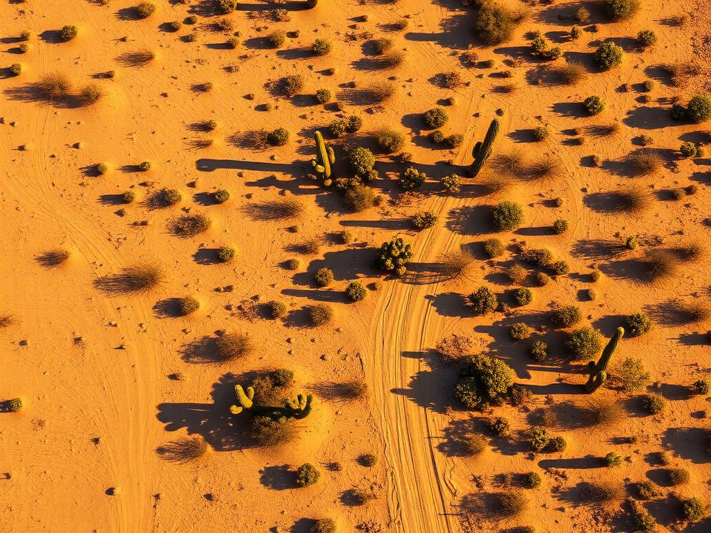
Aerial Drone Photography
High-resolution photos of Three Points acreage, the highway junction, and the valley and peak views around it.
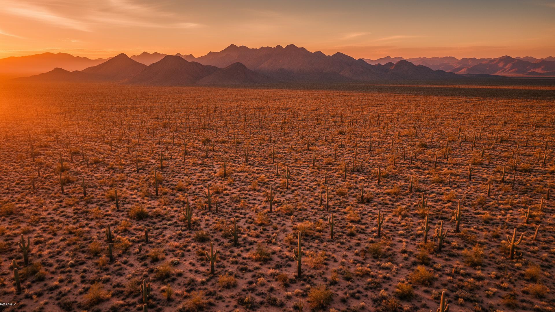
Three Points, also called Robles Junction, is an unincorporated community in Pima County where State Route 86, the Ajo Highway, meets State Route 286. South of that corner the Altar Valley runs toward Sasabe. Baboquivari Peak, on the Tohono O'odham Nation, is the mountain to the southwest.
Three Points Land Listings
Land around Three Points is rural: desert grassland, ranch tracts, and scattered homes off the two highways. The Coyote Mountains sit west of the junction, and Kitt Peak is farther out SR 86. Buyers need to see the road in, the vegetation, and that long Baboquivari view when the parcel has it.

Three Points Services
Every service is tailored to make vacant land listings impossible to scroll past.
Core ServiceHigh-resolution photos of Three Points acreage, the highway junction, and the valley and peak views around it.
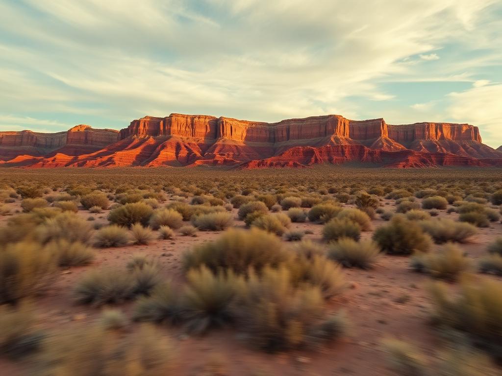
Flyovers that follow a ranch road out from the Ajo Highway and open onto the Altar Valley.
 Core Service
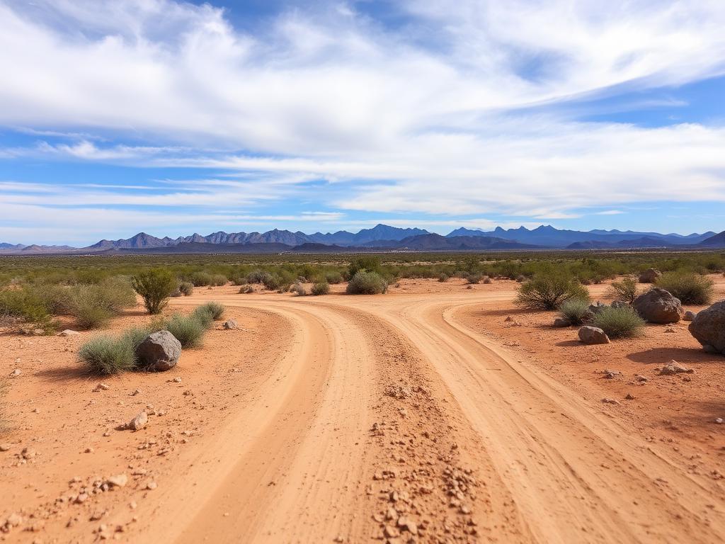
Ground photos of the drive, the grassland and desert scrub, and the horizon from the parcel.
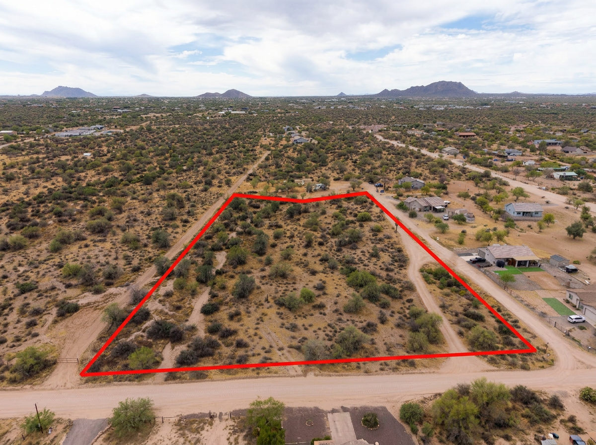 Add-On
Parcel lines on the aerials so a large ranch tract has a visible edge.
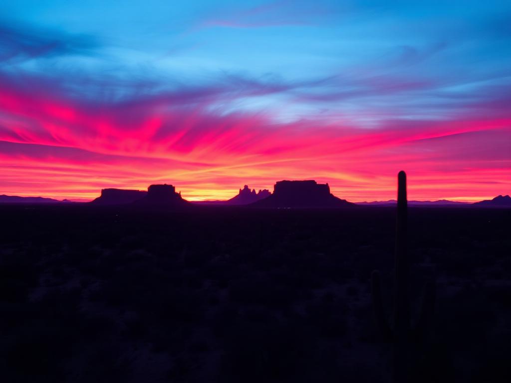 Add-On
Late light on Baboquivari and the western ranges for listings that are mostly sky and land.
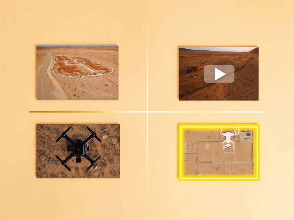 Bundle
Drone photos, ground photos, video, and boundary overlay bundled at a discounted rate for a Three Points listing.
Where We Shoot
Three Points is a junction and a valley. The parcels differ by how far they sit from those two highways.
Lots at Robles Junction itself, where SR 86 and SR 286 meet southwest of Tucson.
Desert parcels east and west along SR 86, the road back to Tucson and on toward the Tohono O'odham Nation.
Ranch and rural tracts south on SR 286, the highway that runs the valley to Sasabe.
Land with a sightline to Baboquivari Peak, the dominant mountain southwest of the junction.
The western horizon, with the Coyote Mountains nearby and Kitt Peak farther along SR 86.
We photograph vacant land from Greater Phoenix through southern Arizona, including Maricopa, Pinal, Pima, and Santa Cruz counties. Send the address or APN and we'll confirm.
Check my parcelHow It Works
Send the Three Points or Robles Junction APN and the ranch-road approach. Either name may be on the listing.
We review the tract, check airspace, and schedule for a clear view of the valley and the peak.
Our FAA-certified pilot and photographer capture drone and ground media.
Edited, delivery-ready photos and video delivered within 48 hours via download link.
FAQ
Nearby Service Areas
Get a Quote
Send us the address or APN and we'll get back to you within 24 hours with pricing and availability.
FAA Part 107 Licensed & Insured · 48-hour delivery · Phoenix to southern Arizona