 Core Service
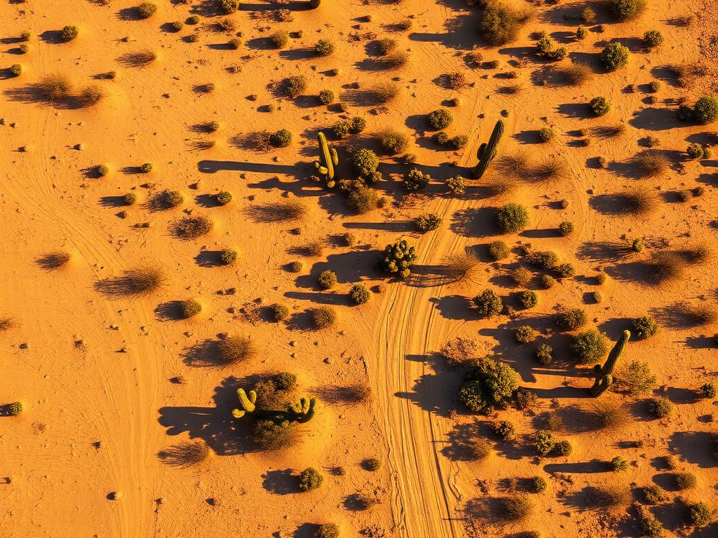
Aerial Drone Photography
High-resolution photos of Picture Rocks acreage, the desert cover, and the mountain backdrop from more than one altitude.
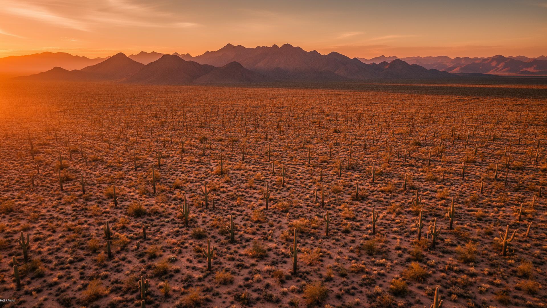
Picture Rocks is an unincorporated community in Pima County, west of Tucson along Picture Rocks Road. It sits between the Tucson Mountains and the open desert toward Avra Valley and Ironwood Forest National Monument. Saguaro National Park's Tucson Mountain District is to the south, and a lot of the land for sale is acreage on dirt roads.
Picture Rocks Land Listings
This is classic Sonoran Desert: ironwood, saguaro, and washes, with the Tucson Mountains on one side and a long view the other way. The community takes its name from rock art in the area. Signal Hill, inside the national park, holds a well-known petroglyph site. We photograph the private parcel. The park stays the backdrop.

Picture Rocks Services
Every service is tailored to make vacant land listings impossible to scroll past.
Core ServiceHigh-resolution photos of Picture Rocks acreage, the desert cover, and the mountain backdrop from more than one altitude.
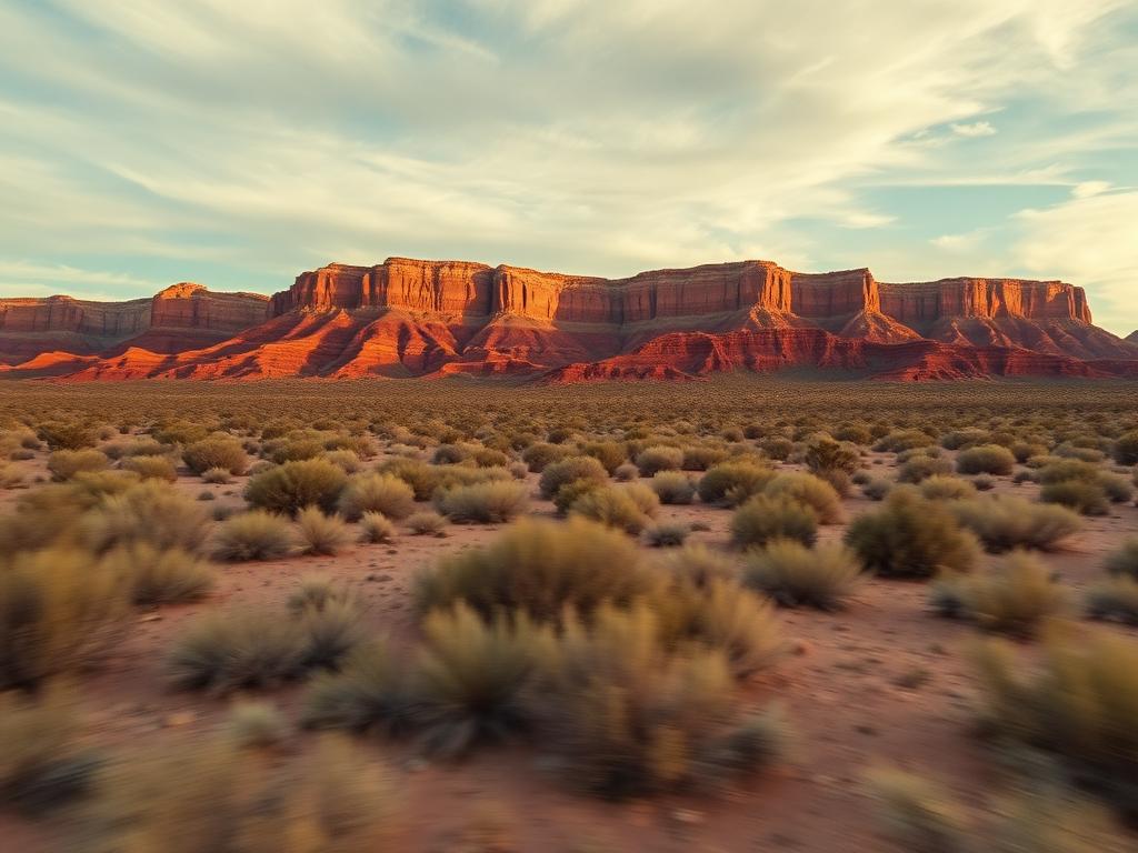
Flyovers that follow the dirt approach and open onto the Tucson Mountains or the Avra Valley side.
 Core Service
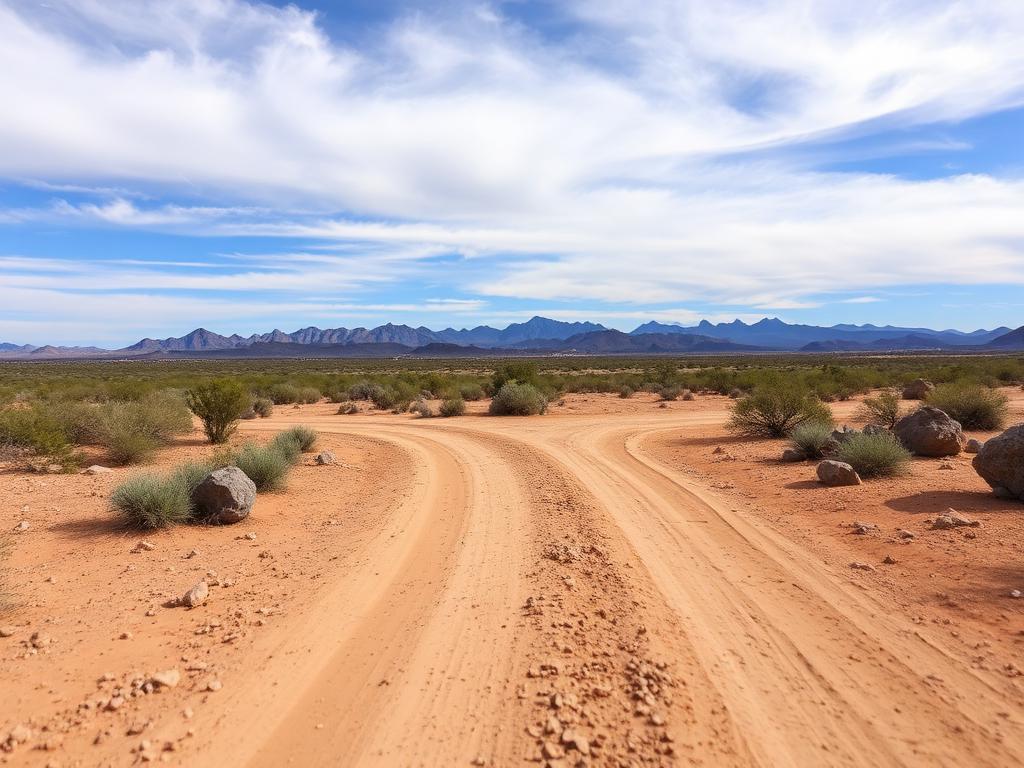
Ground photos of the road, the vegetation, and what it feels like to stand on the parcel.
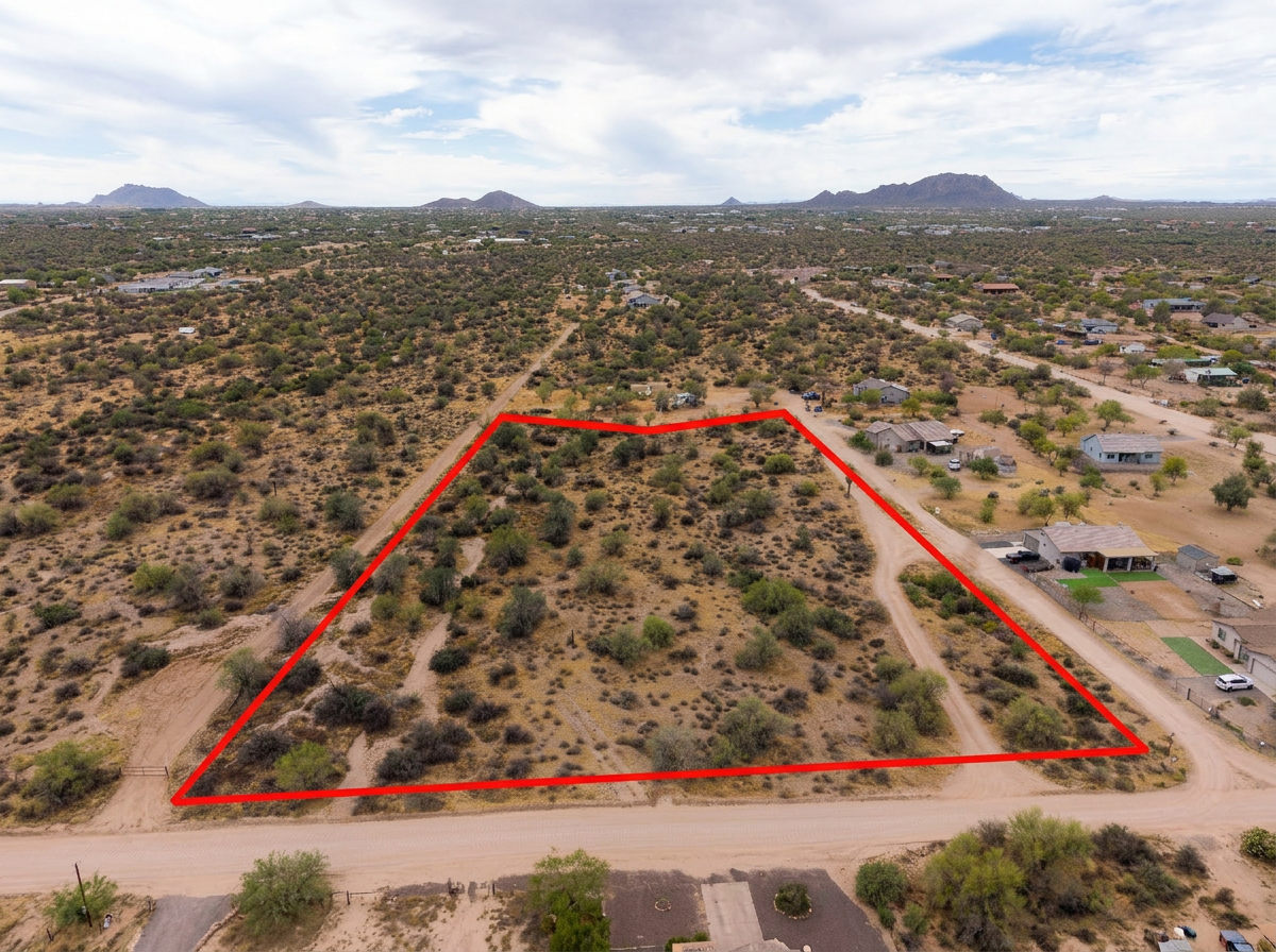 Add-On
Parcel lines on the aerials so buyers can see an acreage tract among look-alike desert.
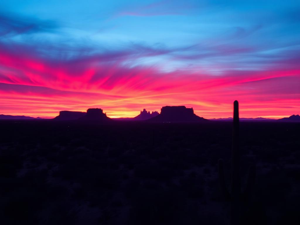 Add-On
Low sun on the Tucson Mountains and the saguaros for listings that live or die on the light.
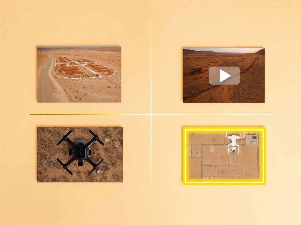 Bundle
Drone photos, ground photos, video, and boundary overlay bundled at a discounted rate for a Picture Rocks listing.
Where We Shoot
Picture Rocks is spread out. The road, the park, and the open valley are the three edges.
Parcels along the road that names the community and connects it back to Marana and the Tucson Mountains.
Private land on the north side of the park's Tucson Mountain District, with the park's saguaro forest as the neighbor.
Lots looking at the west slope of the Tucson Mountains and Tucson Mountain Park.
The northwest side, opening toward Avra Valley and Ironwood Forest National Monument.
Larger tracts off the paved grid, where showing the actual drive in is half the listing.
We photograph vacant land from Greater Phoenix through southern Arizona, including Maricopa, Pinal, Pima, and Santa Cruz counties. Send the address or APN and we'll confirm.
Check my parcelHow It Works
Send the Picture Rocks address or APN and the road condition. If the last mile is dirt, say so.
We check the national-park boundary, Ryan Airfield and Tucson airspace, and book light on the mountains.
Our FAA-certified pilot and photographer capture drone and ground media.
Edited, delivery-ready photos and video delivered within 48 hours via download link.
FAQ
Nearby Service Areas
Get a Quote
Send us the address or APN and we'll get back to you within 24 hours with pricing and availability.
FAA Part 107 Licensed & Insured · 48-hour delivery · Phoenix to southern Arizona