 Core Service
Aerial Drone Photography
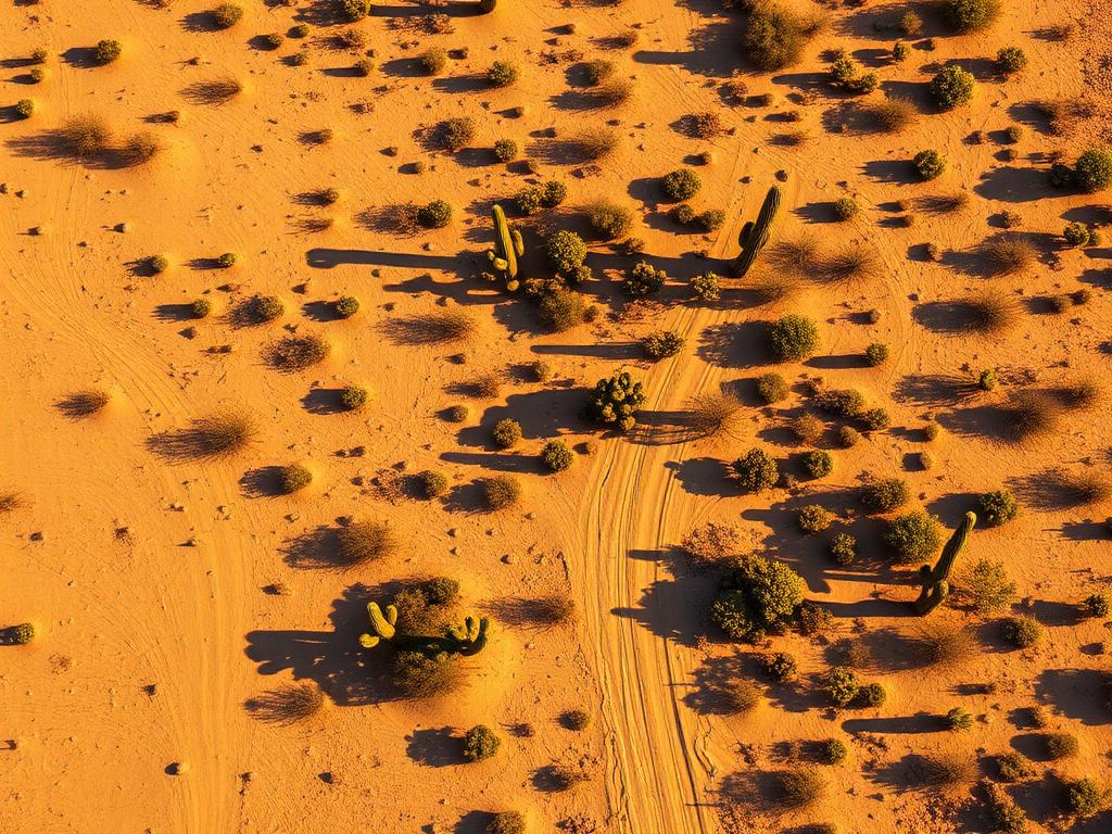
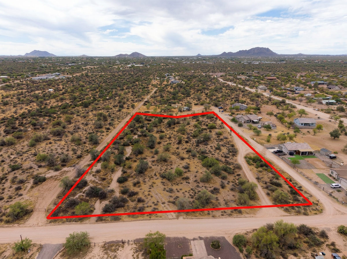
High-resolution photos that show a Valencia West lot, the desert or the subdivision around it, and the mountain horizon.
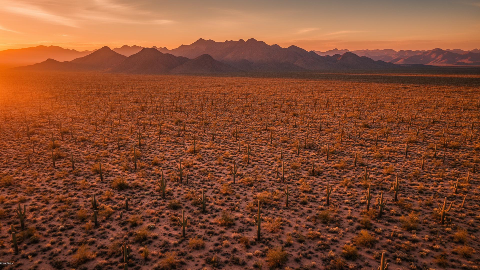
Valencia West is an unincorporated community in Pima County along West Valencia Road, southwest of Tucson and west of I-19. It is a mix of newer neighborhoods and desert lots on the edge of the Santa Cruz valley, with the Tucson Mountains to the northwest and the Pascua Yaqui community toward the freeway.
Valencia West Land Listings
Valencia Road is the spine. Some parcels are infill inside subdivisions. Others still sit in open desert with a wash and a view back to the Tucson Mountains. The Santa Cruz River is to the east, toward the interstate. Buyers want to see which of those descriptions is true for a specific APN.

Valencia West Services
Every service is tailored to make vacant land listings impossible to scroll past.
Core ServiceHigh-resolution photos that show a Valencia West lot, the desert or the subdivision around it, and the mountain horizon.
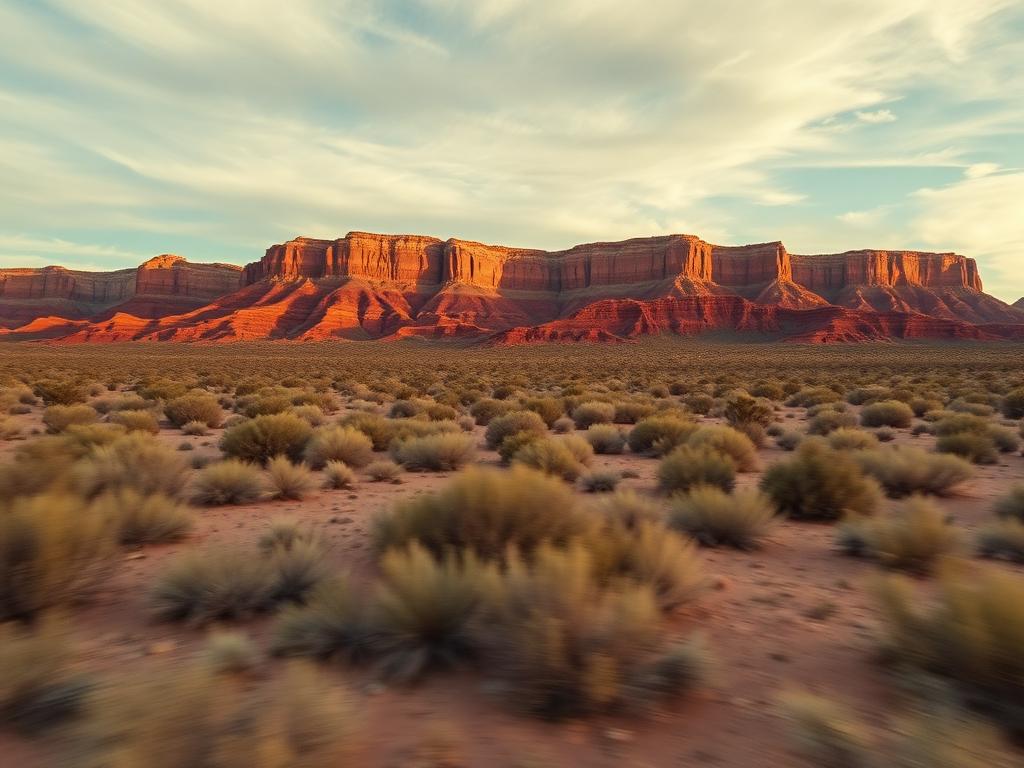
Flyovers along Valencia Road that pull back so buyers can see how built, or how open, the surroundings are.
 Core Service
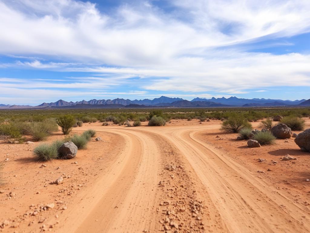
Ground photos of the street, the soil, and the vegetation on the parcel.
 Add-On
Parcel lines on the aerials for both small subdivision lots and larger desert tracts.
 Add-On
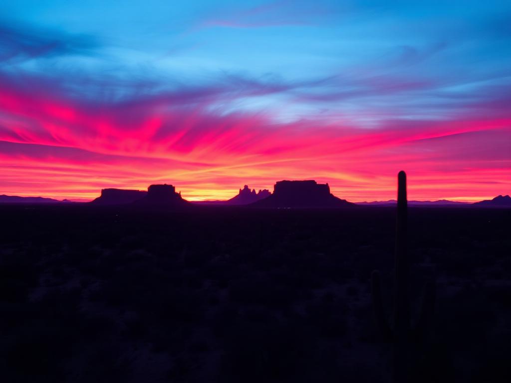
Late light on the Tucson Mountains for edge lots with a real view.
 Bundle
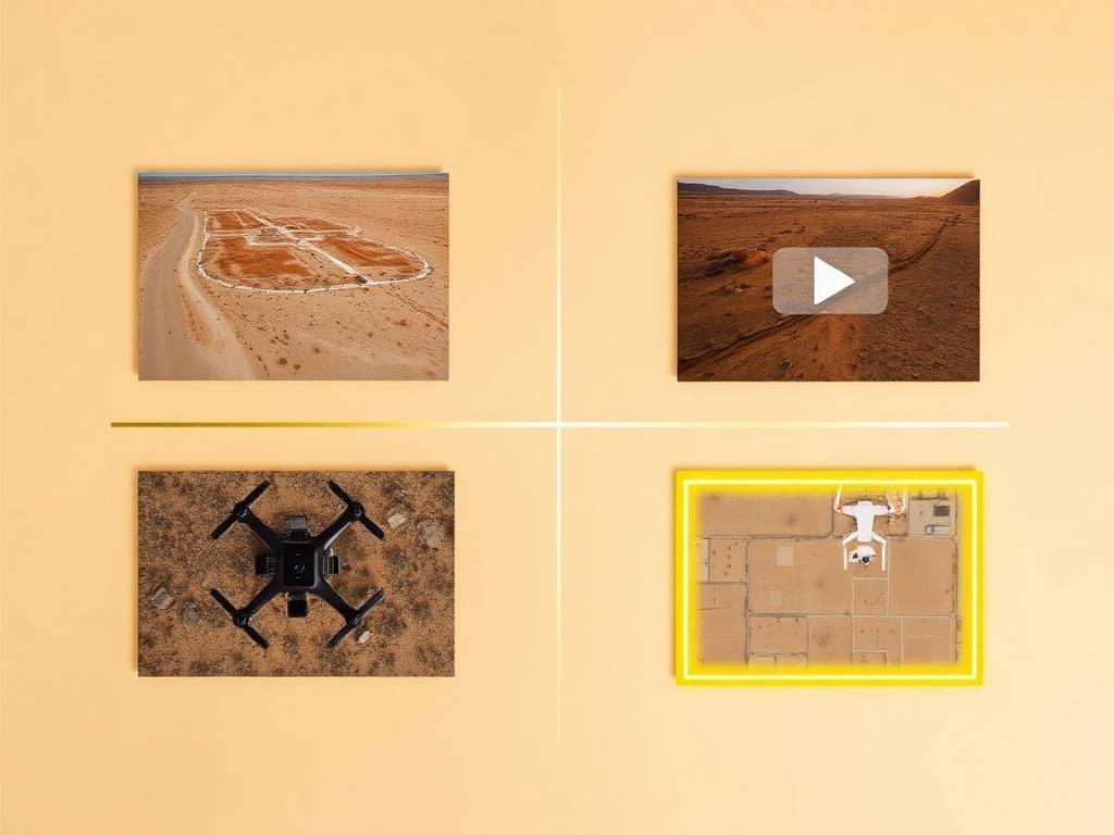
Drone photos, ground photos, video, and boundary overlay bundled at a discounted rate for a Valencia West listing.
Where We Shoot
Valencia West is growing along one road. The aerial's job is to show exactly where on that map the lot sits.
Frontage and nearby lots on West Valencia Road, the corridor from I-19 out to the desert.
Parcels that still open onto creosote desert rather than a finished block of homes.
Leftover lots inside the newer neighborhoods, where the neighboring roofs are the context.
The northwest side of the community, looking back at the Tucson Mountains.
The east side, nearer the river, I-19, and the Pascua Yaqui community.
We photograph vacant land from Greater Phoenix through southern Arizona, including Maricopa, Pinal, Pima, and Santa Cruz counties. Send the address or APN and we'll confirm.
Check my parcelHow It Works
Send the Valencia West address or APN and note whether the lot is inside a subdivision or on the desert edge.
We review the parcel, check Ryan Airfield and Tucson International airspace, and schedule the shoot.
Our FAA-certified pilot and photographer capture drone and ground media.
Edited, delivery-ready photos and video delivered within 48 hours via download link.
FAQ
Nearby Service Areas
Get a Quote
Send us the address or APN and we'll get back to you within 24 hours with pricing and availability.
FAA Part 107 Licensed & Insured · 48-hour delivery · Phoenix to southern Arizona