 Core Service
Aerial Drone Photography
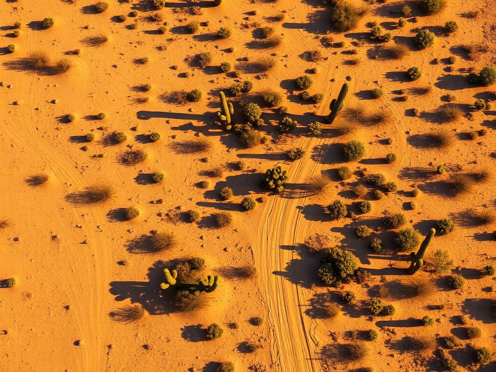
High-resolution photos of large Avra Valley tracts, field edges, and the desert mountains to the west.
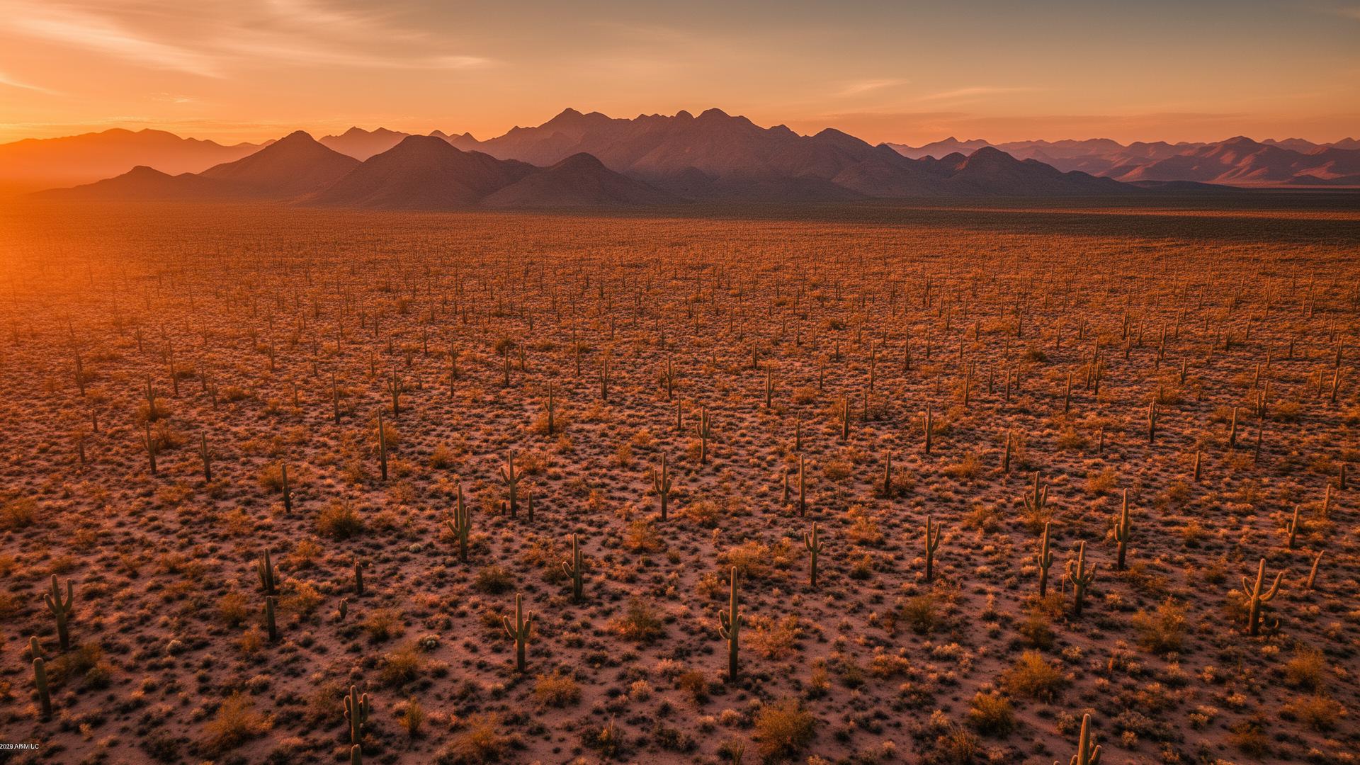
Avra Valley is the broad basin west of the Tucson Mountains in Pima County, an unincorporated community of irrigated fields and raw desert. Ironwood Forest National Monument and the Silver Bell Mountains close the west side. Marana sits to the east. Parcels here are often large, and the aerial is how a buyer sees them.
Avra Valley Land Listings
The valley mixes farmland with creosote and ironwood desert. Avra Valley Road and Sandario Road are the routes people use. Pinal Airpark in Marana is on the north side of this country, and Ryan Airfield is southeast toward Ajo Way. A listing needs to show which landscape the parcel is in, and the road that reaches it.
Avra Valley Services
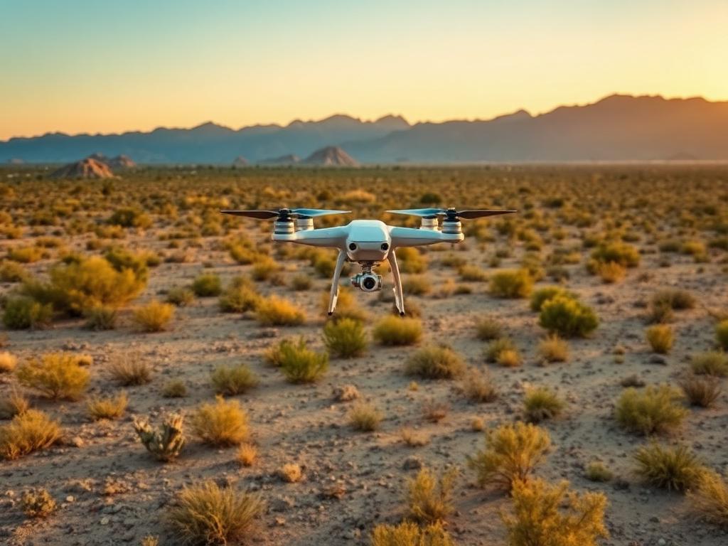
Every service is tailored to make vacant land listings impossible to scroll past.
Core ServiceHigh-resolution photos of large Avra Valley tracts, field edges, and the desert mountains to the west.
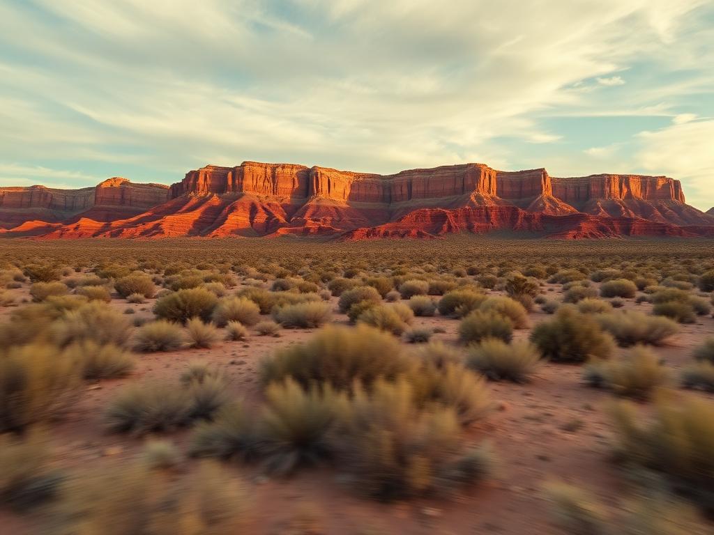
Flyovers that follow the access road across the valley and pull back to the Tucson Mountains or Ironwood Forest.
 Core Service
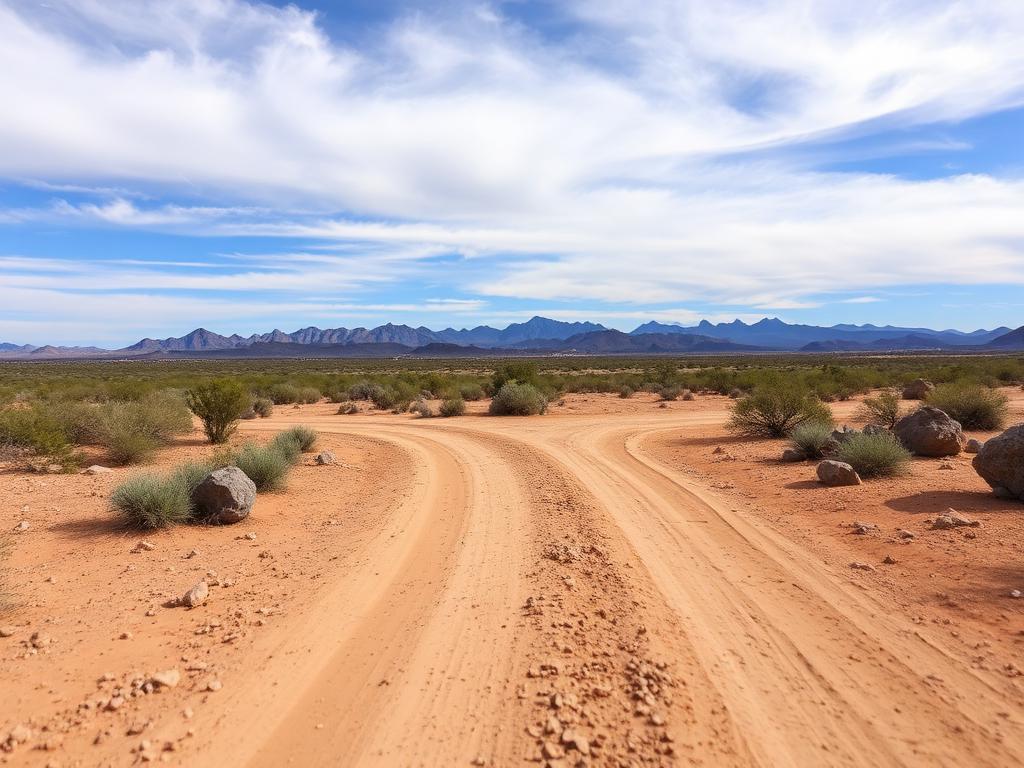
Ground photos of soil, crops or native desert, and the road a buyer would actually drive.
 Add-On
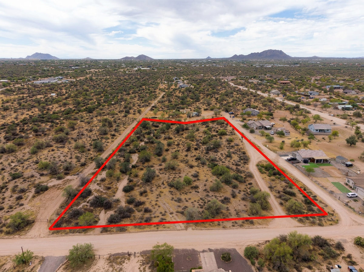
Parcel lines on the aerials so a large tract is unmistakable among similar fields and desert blocks.
 Add-On
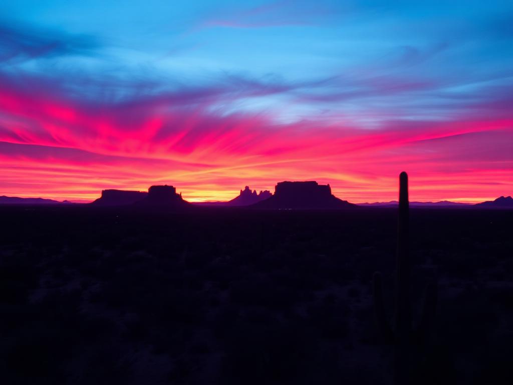
Low light across the valley floor, when texture in the fields and the western mountains both show up.
 Bundle
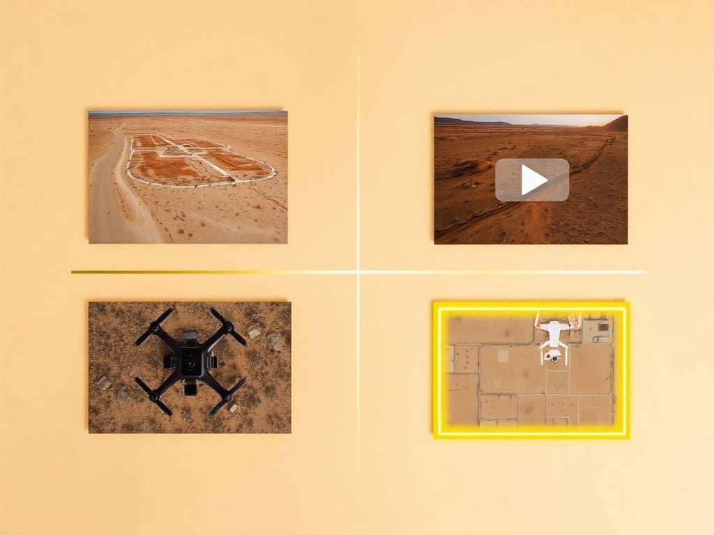
Drone photos, ground photos, video, and boundary overlay bundled at a discounted rate for an Avra Valley listing.
Where We Shoot
Avra Valley is a basin, not a downtown. These are the edges that change what a parcel looks like.
Irrigated ground on the valley floor, where canals, crop rows, and section roads are the landmarks.
Creosote and ironwood parcels off the farmed ground, with long views and few structures.
The west side of the valley, looking at Ironwood Forest National Monument and the Silver Bell Mountains.
Frontage and nearby tracts on the two roads that organize the valley.
The east side of the basin, closer to Marana and the back of the Tucson Mountains.
We photograph vacant land from Greater Phoenix through southern Arizona, including Maricopa, Pinal, Pima, and Santa Cruz counties. Send the address or APN and we'll confirm.
Check my parcelHow It Works
Send the Avra Valley APN and the road in. Large parcels often lack a street-style address.
We review fields, desert, and the monument boundary, check Pinal Airpark and Ryan Airfield traffic, and schedule the flight.
Our FAA-certified pilot and photographer capture drone and ground media.
Edited, delivery-ready photos and video delivered within 48 hours via download link.
FAQ
Nearby Service Areas
Get a Quote
Send us the address or APN and we'll get back to you within 24 hours with pricing and availability.
FAA Part 107 Licensed & Insured · 48-hour delivery · Phoenix to southern Arizona