 Core Service
Aerial Drone Photography
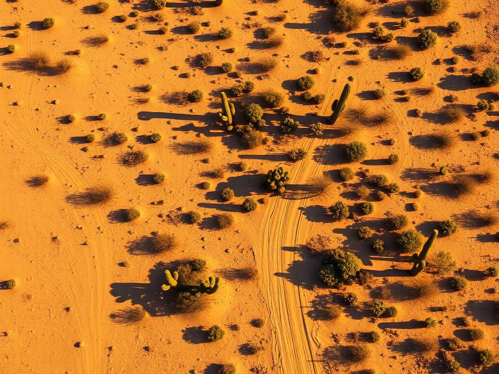
High-resolution photos that show a Catalina lot's desert, its wash, and the Catalina front behind it.
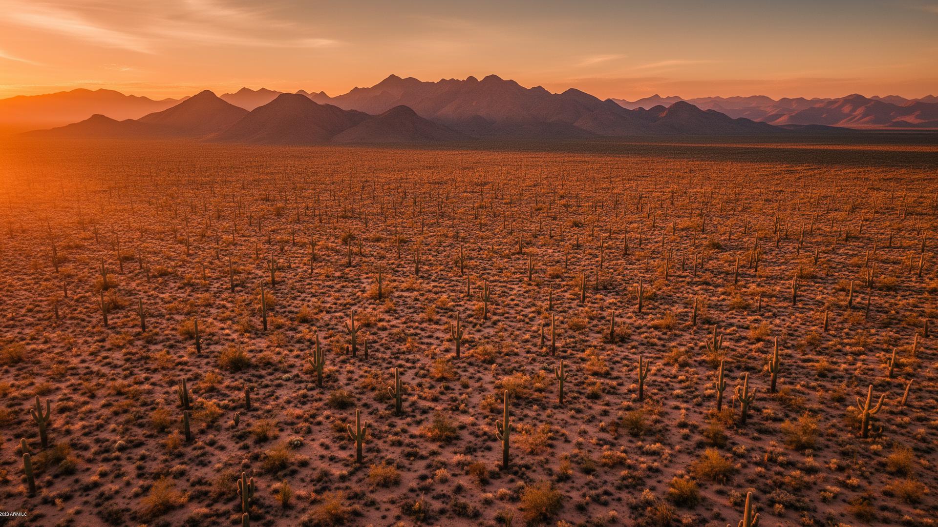
Catalina is an unincorporated census-designated place in Pima County, on Oracle Road between Oro Valley and SaddleBrooke. The Santa Catalina Mountains fill the eastern skyline, and the Canada del Oro wash drains the desert below them. Lots here are foothill desert, not city infill.
Catalina Land Listings
Catalina is often lumped in with Oro Valley, but it is its own unincorporated community in Pima County. Catalina State Park sits just south, toward Oro Valley, at the base of the mountains. North, Highway 77 continues to SaddleBrooke and Oracle. Buyers want the mountain, the wash, and proof of how they reach the lot.

Catalina Services
Every service is tailored to make vacant land listings impossible to scroll past.
Core ServiceHigh-resolution photos that show a Catalina lot's desert, its wash, and the Catalina front behind it.
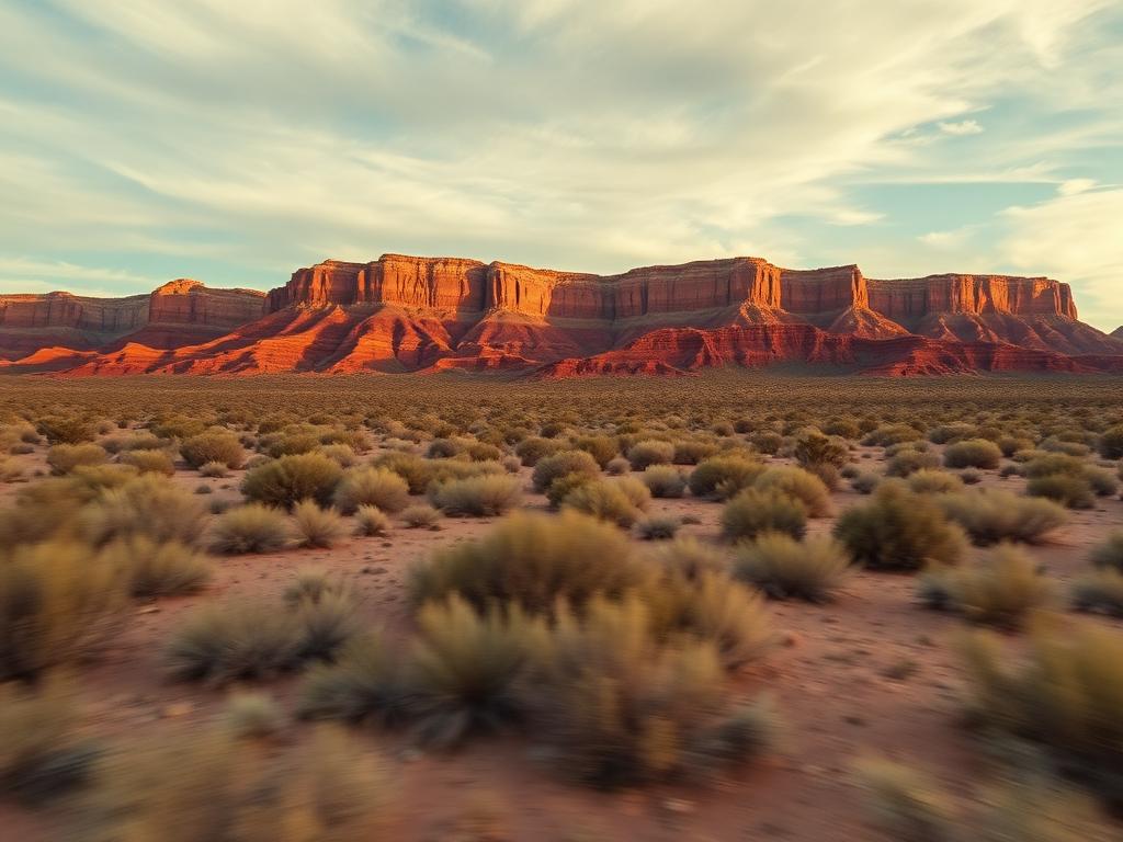
Flyovers along Oracle Road and across the foothill so a remote buyer sees the approach and the mountain together.
 Core Service
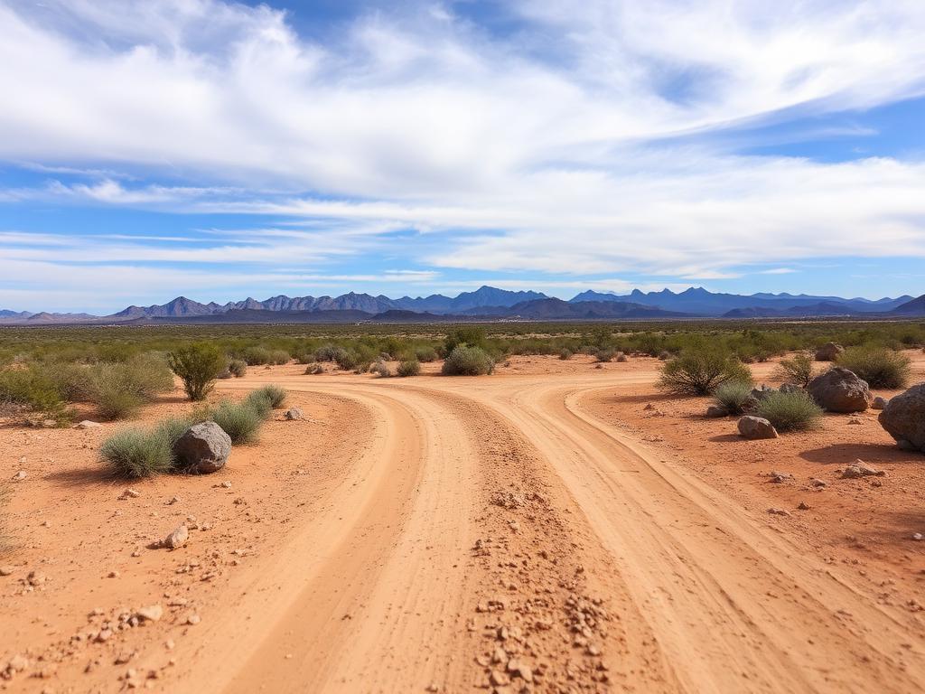
Ground photos of road access, saguaros, and the view from the likely building area.
 Add-On
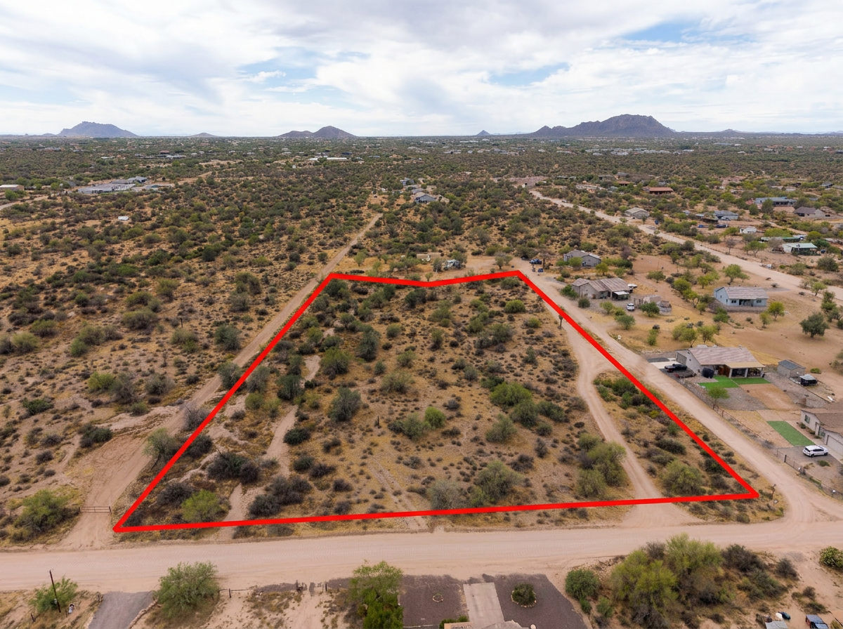
Parcel lines on the aerials so a foothill lot is clear against the wash and the neighboring parcels.
 Add-On
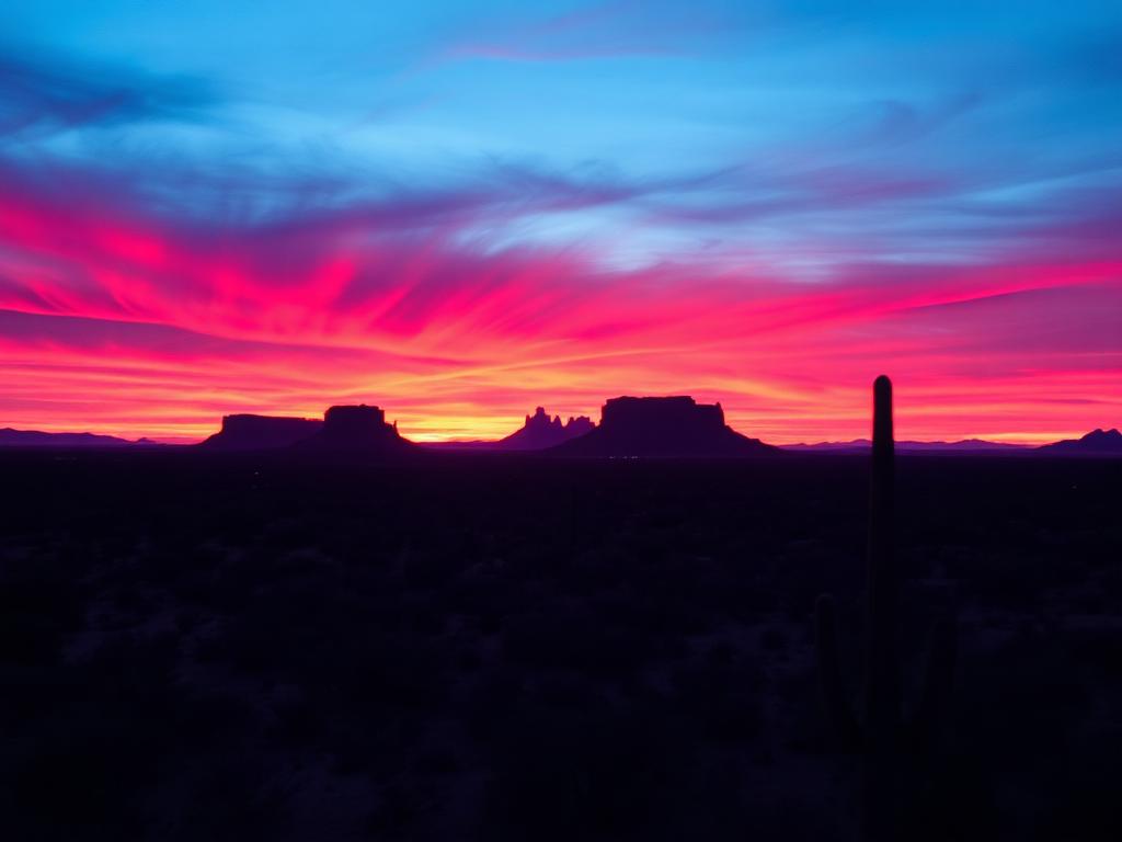
Late light on the Santa Catalinas for view lots along this part of Oracle Road.
 Bundle
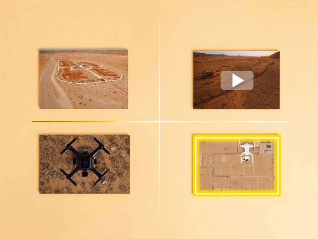
Drone photos, ground photos, video, and boundary overlay bundled at a discounted rate for a Catalina listing.
Where We Shoot
Catalina is a short stretch of foothill. The mountain, the wash, and Oracle Road organize it.
Lots looking straight at the western end of the Santa Catalinas, with desert vegetation in the foreground.
Parcels along the Canada del Oro wash, where the drainage is as important as the view.
Frontage and nearby lots on Highway 77, the road everyone uses to describe where Catalina is.
The south end of the community, closer to Catalina State Park and the Oro Valley line.
Desert lots on the way up Oracle Road toward SaddleBrooke and the Pinal County line.
We photograph vacant land from Greater Phoenix through southern Arizona, including Maricopa, Pinal, Pima, and Santa Cruz counties. Send the address or APN and we'll confirm.
Check my parcelHow It Works
Send the Catalina address or APN and note any wash crossing or private road on the way in.
We review the foothill and the park boundary to the south, check Tucson-area airspace, and book light on the mountains.
Our FAA-certified pilot and photographer capture drone and ground media.
Edited, delivery-ready photos and video delivered within 48 hours via download link.
FAQ
Nearby Service Areas
Get a Quote
Send us the address or APN and we'll get back to you within 24 hours with pricing and availability.
FAA Part 107 Licensed & Insured · 48-hour delivery · Phoenix to southern Arizona