 Core Service
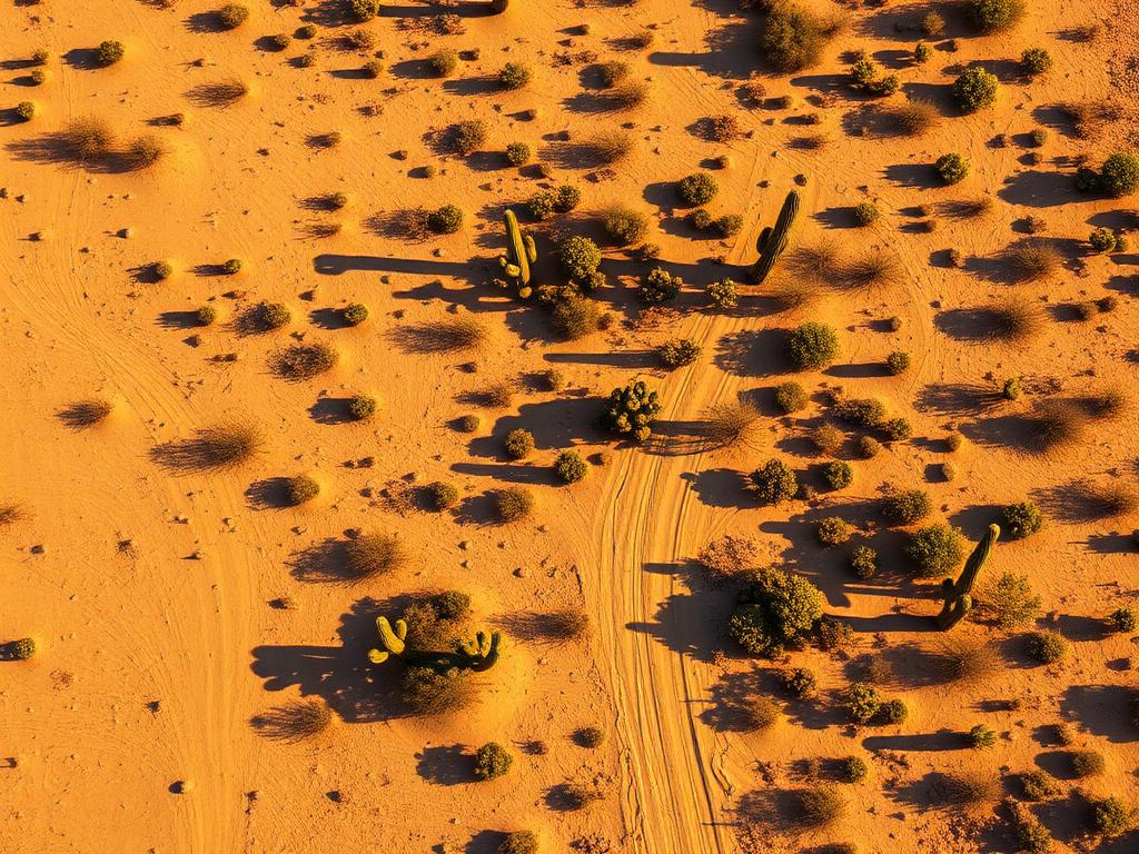
Aerial Drone Photography
High-resolution photos from the elevation of a future home, showing the Catalina view, the city below, and the lot's slope.
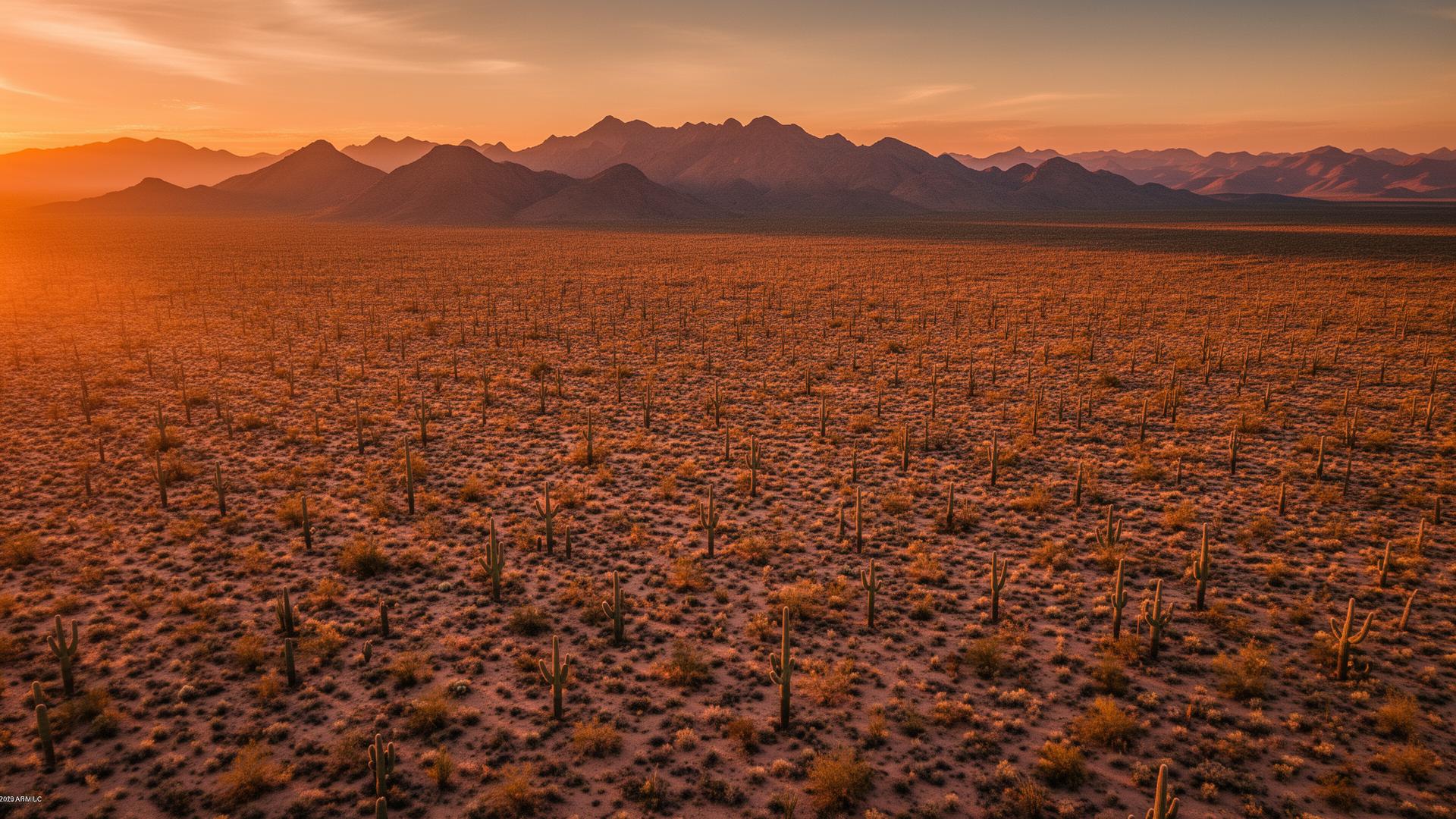
Catalina Foothills is the unincorporated neighborhood north of Tucson, in Pima County, on the bajada under the Santa Catalina Mountains. Custom lots along Skyline and Sunrise look down on the city and up at canyons such as Pima, Finger Rock, Ventana, and Sabino. The view is why the land costs what it costs.
Catalina Foothills Land Listings
Catalina Foothills is a census-designated place, not a city. Much of it is already built with custom homes, so vacant land tends to be a remaining view lot, a steep parcel, or a site tucked against a wash. A drone can hold the city grid and the mountain canyon in one photo, which is the comparison buyers are making.

Catalina Foothills Services
Every service is tailored to make vacant land listings impossible to scroll past.
Core ServiceHigh-resolution photos from the elevation of a future home, showing the Catalina view, the city below, and the lot's slope.
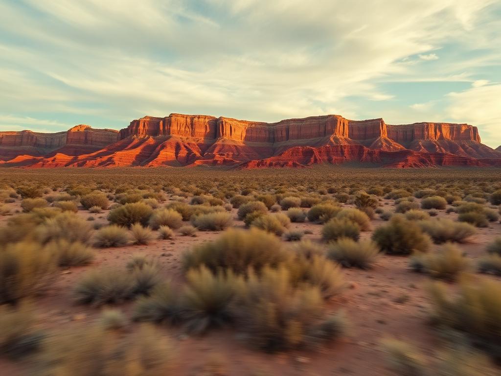
A climb from the street to the view, the kind of sequence foothill buyers expect to see before they visit.
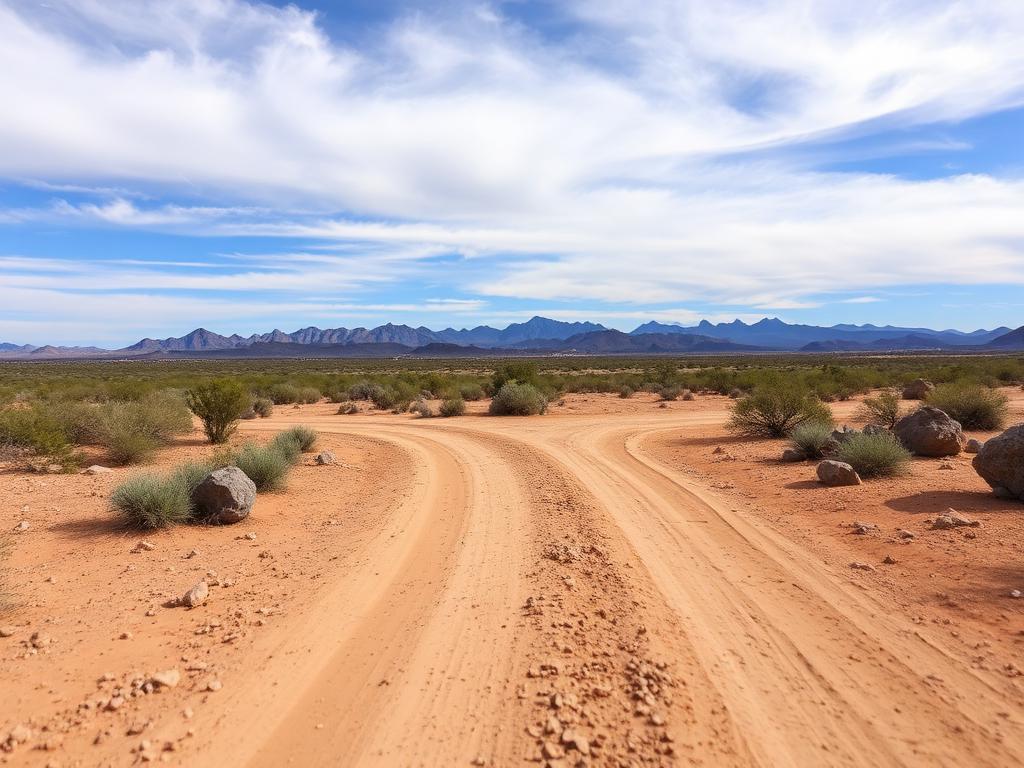 Core Service
Ground photos of the drive, the rock, the vegetation, and the view from the pad.
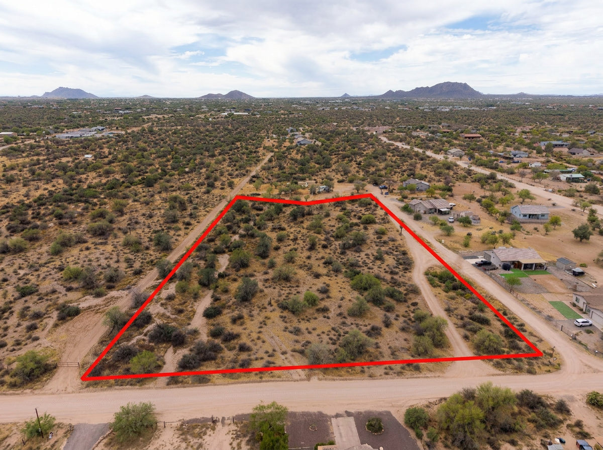 Add-On
Parcel lines on the aerials so an irregular hillside lot is obvious among neighboring roofs and washes.
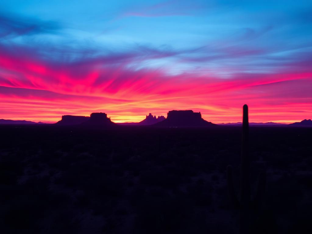 Add-On
Sunset on the Catalinas and city lights below for premium Skyline and Sunrise view lots.
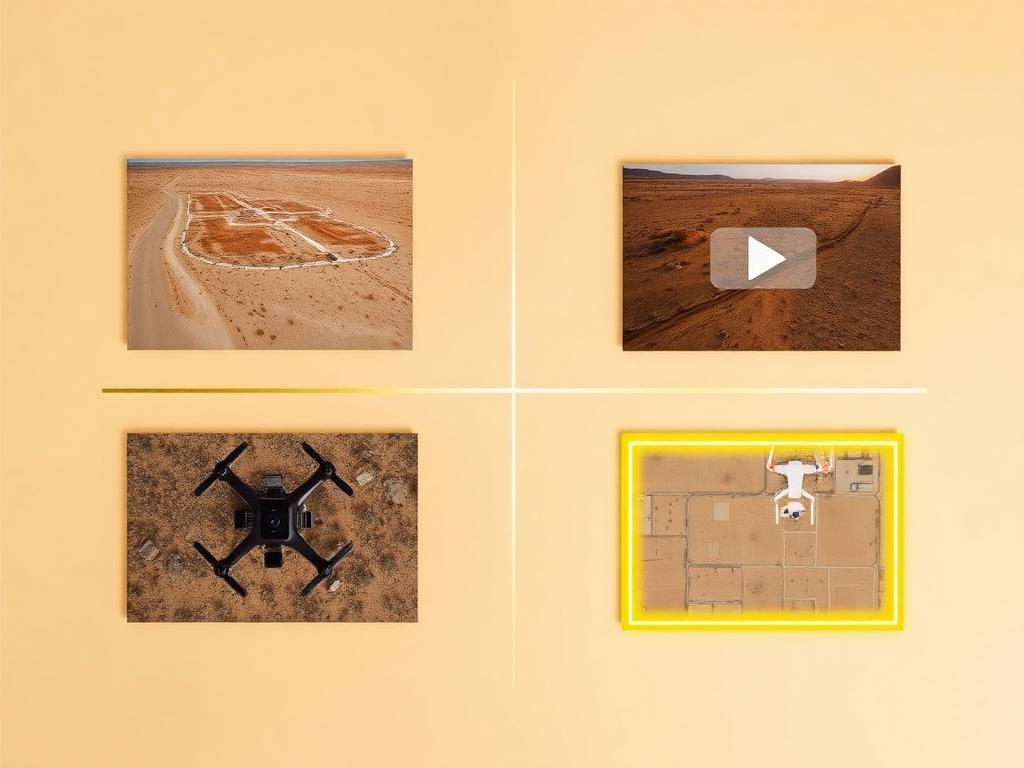 Bundle
Drone photos, ground photos, video, and boundary overlay bundled at a discounted rate for a Catalina Foothills listing.
Where We Shoot
The foothills run for miles along the mountain front. The canyons are how people name the neighborhoods.
Central foothill lots under two of the best-known canyon trails, where the rock face is the backdrop.
The east-central foothills around Ventana Canyon, with resort terrain and long views of the city.
The northeast end of the foothills near Sabino Canyon, where the desert thickens against the mountain.
View lots along the Skyline and Sunrise corridors, the streets buyers use as shorthand for the foothills.
Parcels lower on the bajada, closer to River Road and the city, where access is easier and the view is wider.
We photograph vacant land from Greater Phoenix through southern Arizona, including Maricopa, Pinal, Pima, and Santa Cruz counties. Send the address or APN and we'll confirm.
Check my parcelHow It Works
Send the Catalina Foothills address or APN, gate notes, and the canyon or city view you want held.
We study the slope, plan angles that keep the flight legal relative to the national forest canyons, and book the light.
Our FAA-certified pilot and photographer capture drone and ground media.
Edited, delivery-ready photos and video delivered within 48 hours via download link.
FAQ
Nearby Service Areas
Get a Quote
Send us the address or APN and we'll get back to you within 24 hours with pricing and availability.
FAA Part 107 Licensed & Insured · 48-hour delivery · Phoenix to southern Arizona