 Core Service
Aerial Drone Photography
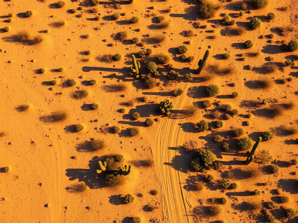
High-resolution photos from several heights that show a SaddleBrooke lot's slope, desert, and Catalina view.
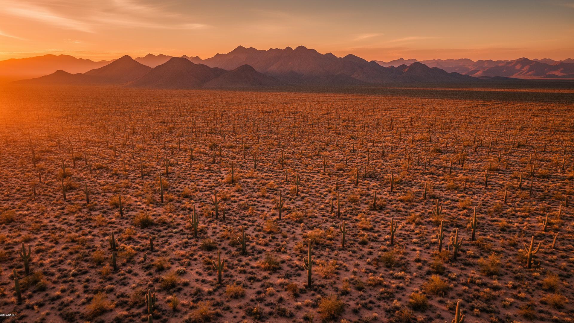
SaddleBrooke sits in the foothills of the Santa Catalina Mountains in Pinal County, just north of Oro Valley along Oracle Road. It is an unincorporated desert community above the Tucson basin, with SaddleBrooke One, SaddleBrooke Two, and the smaller Eagle Crest neighborhood sharing a skyline of the Catalinas. The view is the listing.
SaddleBrooke Land Listings
SaddleBrooke feels like north Tucson and is in Pinal County. The terrain rolls, the vegetation is upper Sonoran Desert, and many lots look straight at the mountains or across a fairway. Biosphere 2 and SaddleBrooke Ranch are nearby along Highway 77. A drone can hold the homesite and the mountain in one frame in a way a lot survey cannot.

SaddleBrooke Services
Every service is tailored to make vacant land listings impossible to scroll past.
Core ServiceHigh-resolution photos from several heights that show a SaddleBrooke lot's slope, desert, and Catalina view.
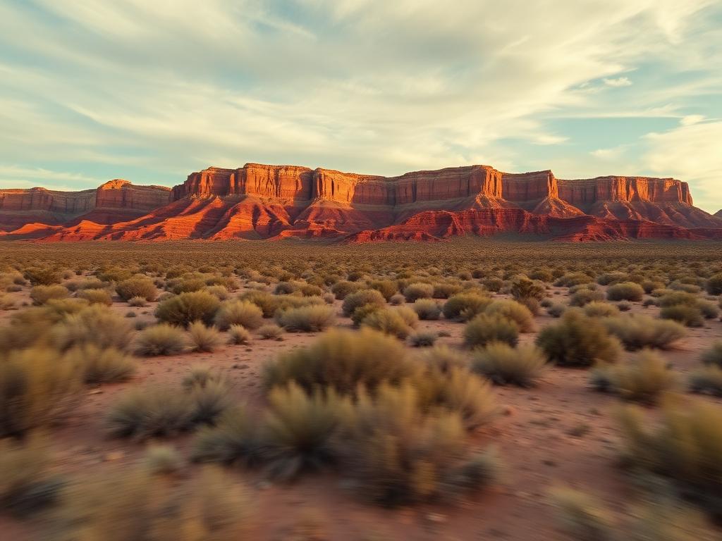
Flyovers that rise from Oracle Road to the elevation of the lot and open onto the mountain front.
 Core Service
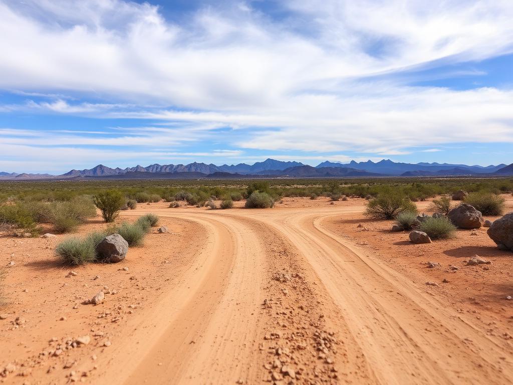
Ground photos of the approach, rock and vegetation, and the view from where a house would sit.
 Add-On
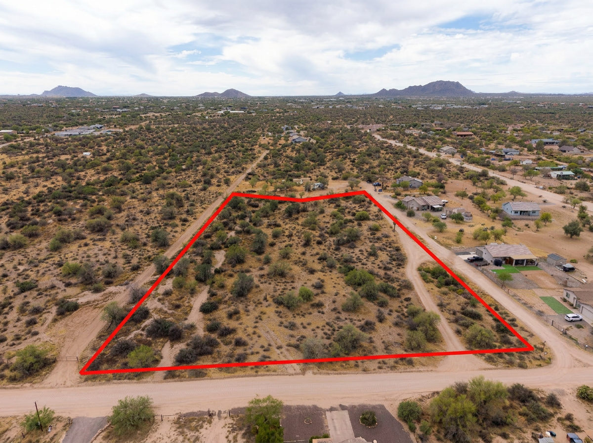
Parcel lines on the aerials so a foothill lot is clear against washes, fairways, and neighboring homes.
 Add-On
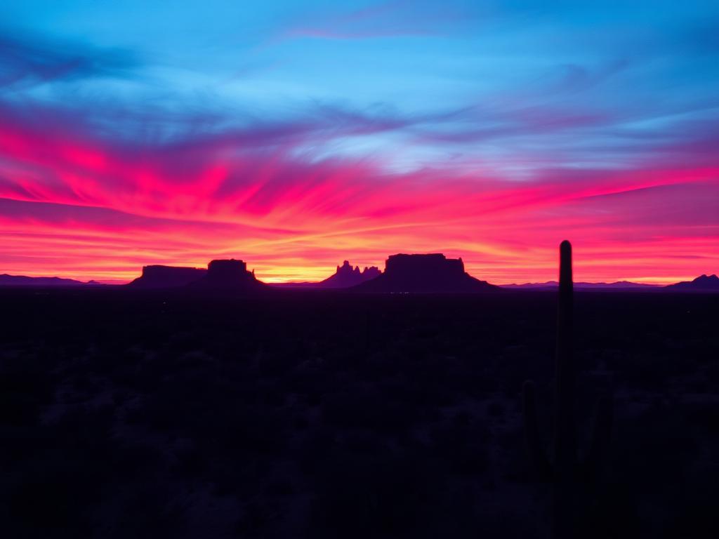
Warm light on the Santa Catalinas for view lots that depend on the mountain.
 Bundle
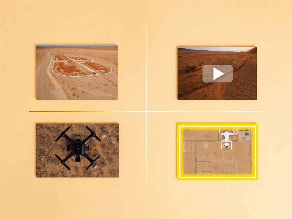
Drone photos, ground photos, video, and boundary overlay bundled at a discounted rate for a SaddleBrooke listing.
Where We Shoot
The community is several neighborhoods in one census place, all on the same Catalina foothill.
The original community tight against the mountain front, where the Catalina view is immediate.
The northern neighborhoods, with their own desert rolls, fairways, and longer views back to the range.
The smaller all-ages section of the census place, still on the same foothill terrain.
Lots whose practical story is access to Highway 77 between Oro Valley and Oracle.
The separate Ranch community farther north toward Oracle Junction, often searched alongside SaddleBrooke.
We photograph vacant land from Greater Phoenix through southern Arizona, including Maricopa, Pinal, Pima, and Santa Cruz counties. Send the address or APN and we'll confirm.
Check my parcelHow It Works
Send the SaddleBrooke address or APN, the gate instructions, and which mountain or fairway view you want held.
We review the slope, confirm the neighborhood entrance, check airspace, and book light on the Catalinas.
Our FAA-certified pilot and photographer capture drone and ground media.
Edited, delivery-ready photos and video delivered within 48 hours via download link.
FAQ
Nearby Service Areas
Get a Quote
Send us the address or APN and we'll get back to you within 24 hours with pricing and availability.
FAA Part 107 Licensed & Insured · 48-hour delivery · Phoenix to southern Arizona