 Core Service
Aerial Drone Photography
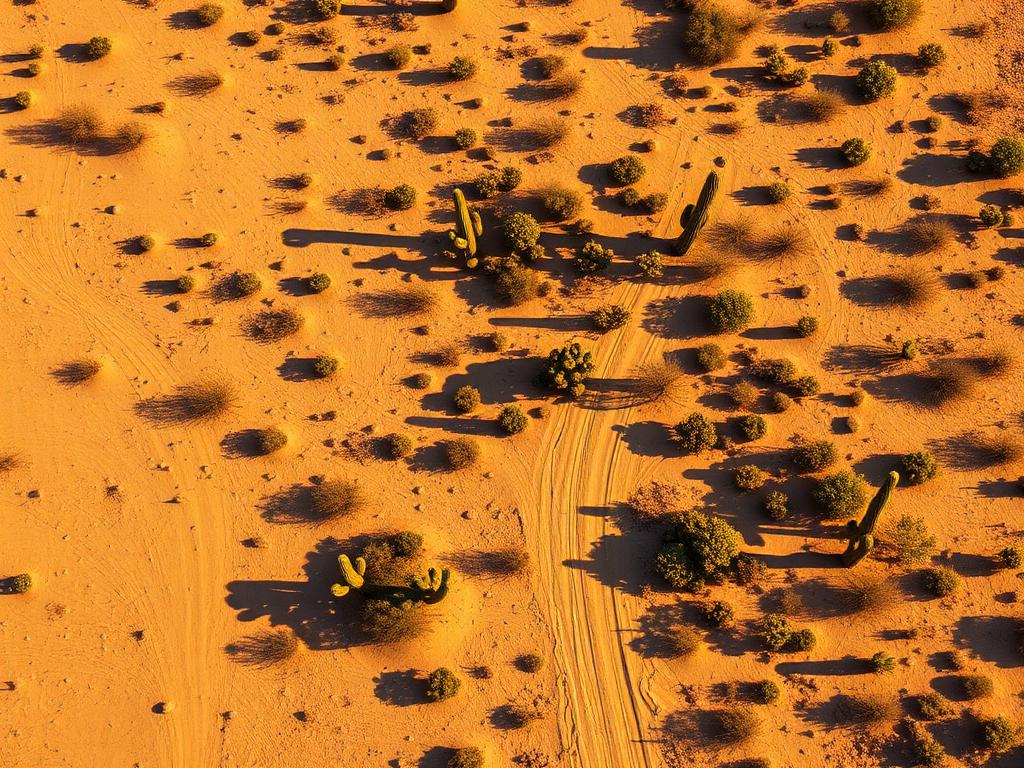
High-resolution photos of Drexel Heights lots, the washes, and the Tucson Mountains behind them.
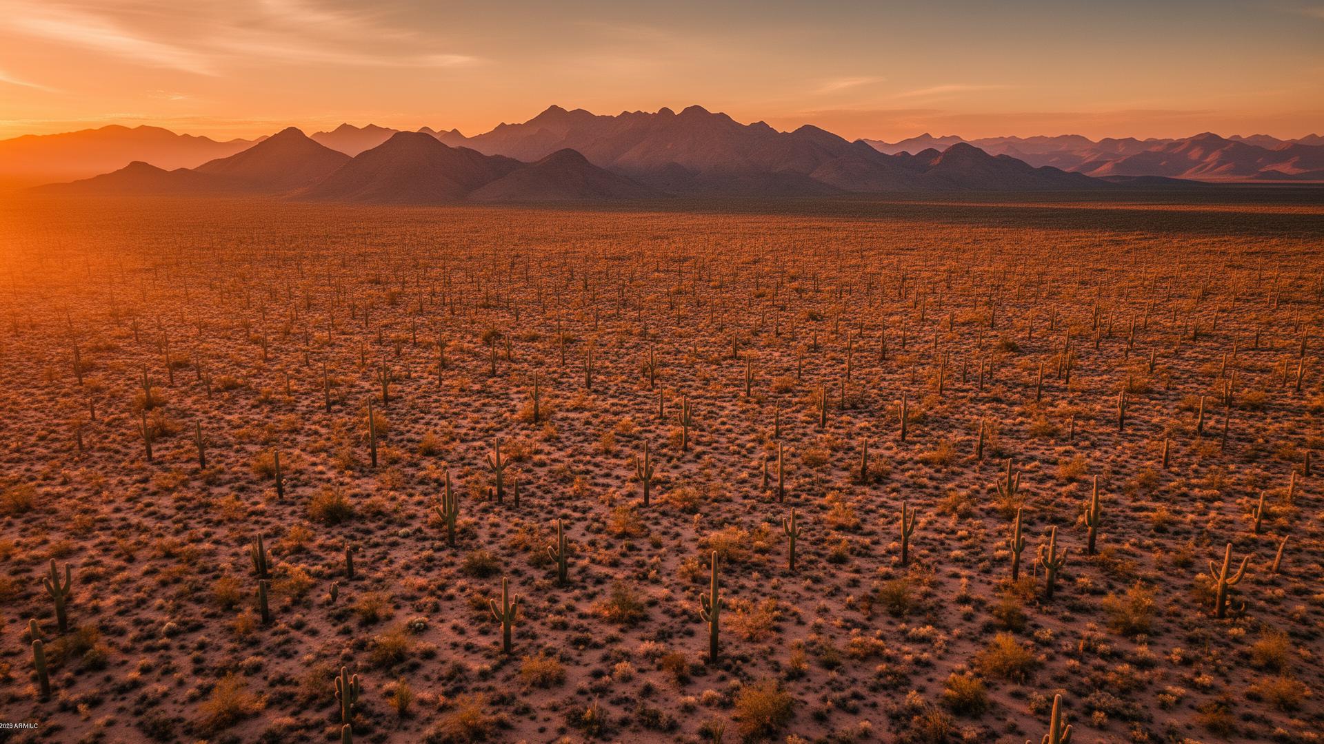
Drexel Heights is an unincorporated community in Pima County on the southwest side of Tucson, on the bajada below the Tucson Mountains. Valencia Road is a main corridor. Saguaro National Park's Tucson Mountain District and Tucson Mountain Park are to the west and north, and San Xavier del Bac is to the southeast.
Drexel Heights Land Listings
Drexel Heights mixes neighborhoods with desert lots. The ground slopes off the mountains, cut by washes, with saguaros still on many parcels. Buyers want to know whether a lot feels like the subdivision or like the open bajada, and how close the mountains really are. An aerial answers that in one frame.

Drexel Heights Services
Every service is tailored to make vacant land listings impossible to scroll past.
Core ServiceHigh-resolution photos of Drexel Heights lots, the washes, and the Tucson Mountains behind them.
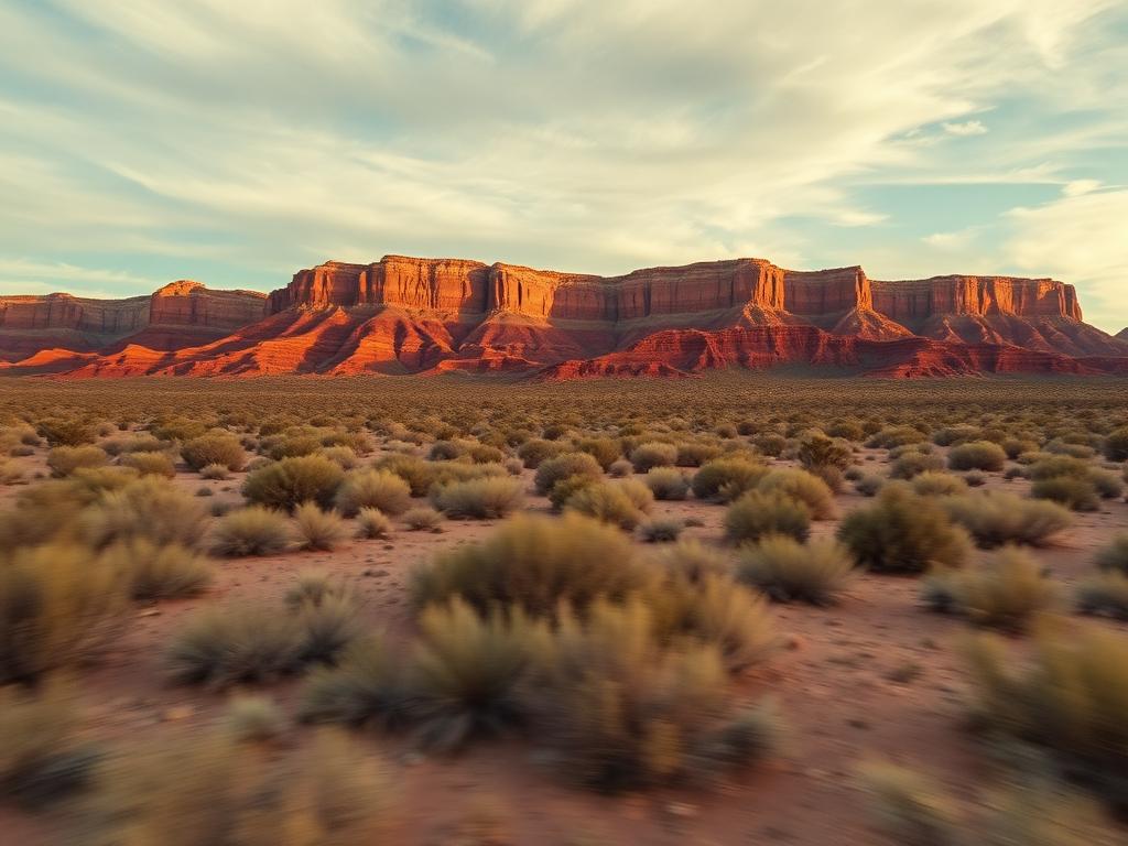
Flyovers from Valencia Road up the bajada so buyers see neighborhoods give way to desert.
 Core Service
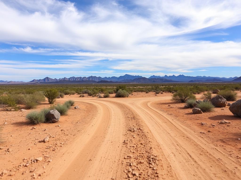
Ground photos of frontage, native vegetation, and the mountain from the lot.
 Add-On
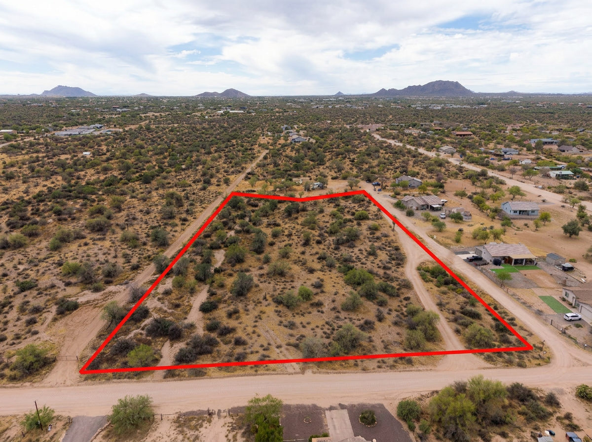
Parcel lines on the aerials for both tight subdivision lots and larger desert parcels.
 Add-On
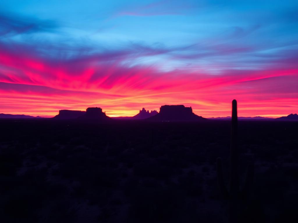
Late light on the Tucson Mountains for listings on the upper bajada.
 Bundle
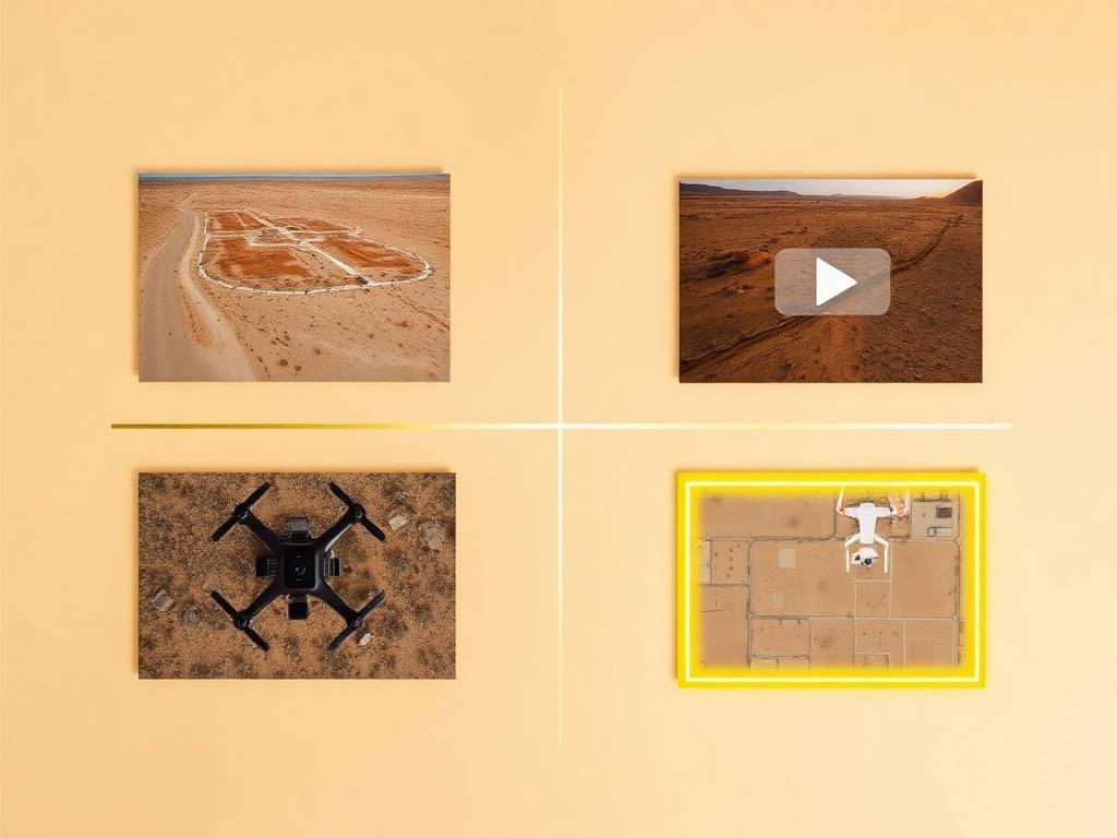
Drone photos, ground photos, video, and boundary overlay bundled at a discounted rate for a Drexel Heights listing.
Where We Shoot
The community runs from built neighborhoods up toward the mountains. Listings change along that slope.
Desert lots higher on the slope, closer to Tucson Mountain Park and the saguaro forest.
Parcels along Valencia, the east-west road that ties Drexel Heights to Tucson and to Valencia West.
Leftover lots inside the subdivisions, where the block and the street are the context.
Parcels crossed or bordered by the washes that drain the Tucson Mountains.
The southeast side, looking toward Mission San Xavier del Bac on the San Xavier District of the Tohono O'odham Nation.
We photograph vacant land from Greater Phoenix through southern Arizona, including Maricopa, Pinal, Pima, and Santa Cruz counties. Send the address or APN and we'll confirm.
Check my parcelHow It Works
Send the Drexel Heights address or APN and say if the lot is in a subdivision or up on the desert slope.
We check the park boundary and Ryan Airfield airspace, then book the flight.
Our FAA-certified pilot and photographer capture drone and ground media.
Edited, delivery-ready photos and video delivered within 48 hours via download link.
FAQ
Nearby Service Areas
Get a Quote
Send us the address or APN and we'll get back to you within 24 hours with pricing and availability.
FAA Part 107 Licensed & Insured · 48-hour delivery · Phoenix to southern Arizona